Dive Brief:
-
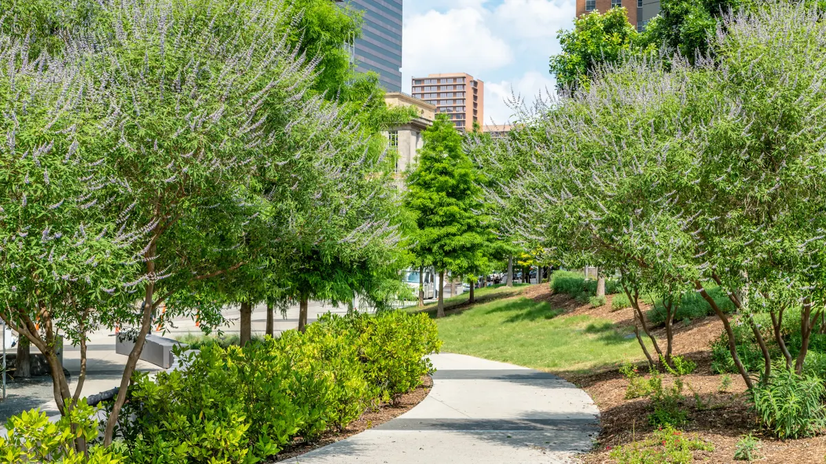
A new open-source model published last month from the International Institute for Applied Systems Analysis allows city planners to continuously track how urban vegetation is distributed and changes over time.
- Using satellite imagery and machine learning trained on data from cities around the world, the model found that the Green View Index — a street-based indicator of canopy coverage — has been decreasing 0.3% to 0.5% per year. It also found high heterogeneity across cities and regions and “stark inequalities” in street green space within cities.
-
According to Giacomo Falchetta, an IIASA research scholar who led the study, the model “can shed light on the more structural progress or decline in canopy cover due to processes such as land use change or vegetation health status, and hence on the changing quantity and quality of street greenery in a city.”
Dive Insight:
Urban vegetation mitigates heat islands through shade and evaporative cooling, provides flood control and carbon sequestration, preserves biodiversity, affects human health and happiness, and is positively associated with real estate prices, according to the study.
Cities face a range of barriers to increasing street greenery, including identifying suitable areas, regulations, securing funding for planting and maintenance, water availability, and side effects like increased pests and vector-born diseases, Falchetti said in an email. “Many cities lack consistent, street-level data on vegetation coverage, making it hard to prioritize areas based on existing conditions and inequalities.”
The researchers studied within-city GVI distribution in the 10 most populated urban areas in 19 world regions to create the model, which allows city planners to track population and characteristics like social vulnerability in each district of an urban area to “support inclusive planning of street greenery by addressing areas with low exposure but high population density,” Falchetti said.
The model allows for targeted planning by pinpointing where low GVI intersects with high population density and “supports the prioritization of existing vegetation maintenance for areas of cities where GVI is on a declining trend,” Falchetti said.
Because the model is open-source and designed to work with publicly available satellite and ancillary data, cities need only moderate technical infrastructure and capacity — a kick-off process to set up the local workflow and a two- to three-day training for urban planning officers — to utilize it, he said.