The Digital Canopy
It's intriguing that Google Earth has started populating the virtual 'planet' with 3-Dimensional trees, which together with buildings and terrain offer the opportunity for some reasonable representation of exterior sites. Right now, only a few cities have been added in selected cities and natural areas:
"I think we can all agree that our planet without trees would be a pretty desolate place. Besides the ever-important task of providing us with the oxygen we breathe, trees are an integral part of the landscape around us. In Google Earth, while we and our users have been busy populating the globe with many thousands of 3D building models, trees have been rather hard to come by. All that is changing with Google Earth 6, which includes beautifully detailed, 3D models for dozens of species of trees, from the Japanese Maple to the East African Cordia to my personal favorite, the cacao tree. While we've just gotten started planting trees in Google Earth, we already have more than 80 million trees in places such as Athens, Berlin, Chicago, New York City, San Francisco and Tokyo. Through our Google Earth Outreach program, we've also been working with organizations including the Green Belt Movement in Africa, the Amazon Conservation Team in Brazil and CONABIO in Mexico to model our planet's threatened forests."
A short video from Google, particularly regarding their concept for showing specific species of trees to promote understanding and great conservation.
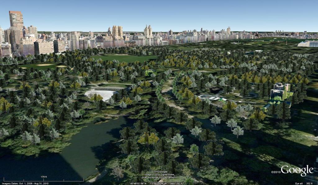
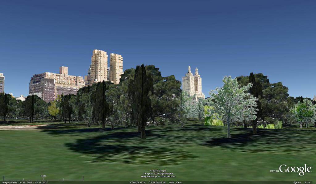
The problem, of course, is the rendering of trees, which is so often problematic in digital formats as to be more distracting than useful. The trees are somewhat abstracted, due to the need to provide simple shapes lower memory usage. A contextual overview is somewhat interesting, for instance, Central Park in New York City.