Tina Mack is a GIS manager, GIS enterprise administrator, project manager and Cityworks administrator for Lucas County, Ohio. Michael Stormer, a licensed professional engineer, is highways and traffic engineering department manager for Colliers Engineering & Design and former chief deputy engineer for Lucas County.
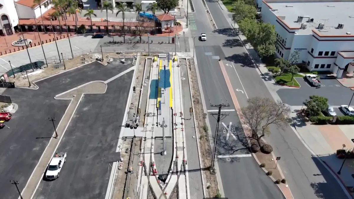
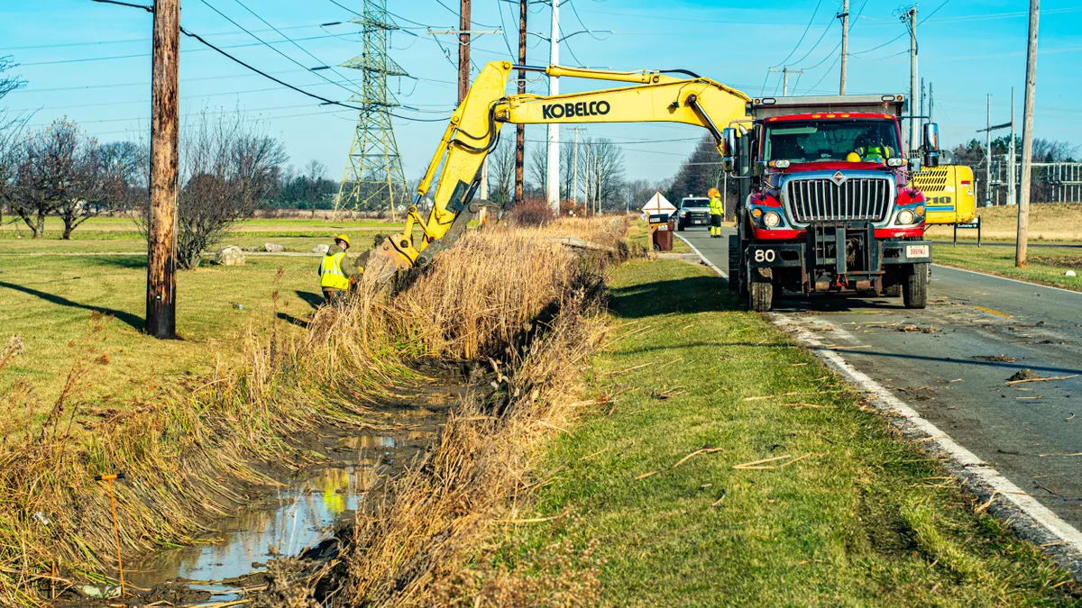
Lucas County, Ohio — which includes the city of Toledo — manages and maintains an extensive infrastructure network for its approximately 430,000 residents. There are about 280 center-line miles of roadway, more than 400 miles of storm sewers and 194 bridges, as well as numerous other assets, from culverts and sidewalks to buildings and vehicles.
About five years ago, the county set out to leverage geographic information system data to improve operations from the office to the field. County officials launched an enterprise asset lifecycle management solution in 2021, deploying Trimble Cityworks ALM, which is built on the Esri ArcGIS platform. One year later, they added Cityworks PLL to the mix to digitize workflows for permitting, licensing and land management.
The ALM system is providing real-time visibility throughout the entire asset lifecycle, from planning and construction to operations and maintenance. With an estimated 70% of total asset costs accumulating during operations and maintenance, streamlining efforts and driving efficiencies in this phase is extremely important. The county is already seeing benefits that could prove instructive for other communities:
More efficient internal processes. Previously, nearly all the county’s critical processes were paper-based. Asset management service requests, inspections and work orders all relied upon manual documentation. Road crews received daily work sheets they carried and completed in the field. All permitting processes were physically documented at every step.
While the transition to digital is still in the early stages, the county has seen significant advances in eliminating data silos, breaking down communication barriers and driving operational efficiency. Completely digitized permitting processes, for example, have helped reduce review times and resulted in significant improvement in projects being completed on time.
Better-informed decision-making. Lucas County has seen exponential growth in terms of information-sharing and collaboration. Various stakeholders now regularly talk with one another across different departments and divisions. Dashboards are accessible throughout the entire organization by design. When a change occurs in a work order or service request, the entire organization can track the development. Multiple stakeholders can offer their individual perspectives and unique expertise.
Greater transparency and accountability. Openly shared project details and deadlines create new levels of accountability. Workflows tracked on the dashboards identify when reviews need to be done, when inspections should be finished, and when the overall project is scheduled for completion. The transparency creates expectations within the organization as well as among community residents. Simply stated, when workflows are fully transparent, deadlines mean something.
Better system integration. The new systems are compatible with others already in use, further supporting collaboration. For example, the asset management system incorporates information from Geotab, the county’s automatic vehicle location system. This integration helps systemize and streamline preventive maintenance work orders for vehicle maintenance. Admittedly, there were initial concerns that vehicle maintenance and road maintenance crews would balk at using iPads in the field. In reality, team members have embraced the change.
The county’s existing payment processor, Paymentus, also was seamlessly integrated into the ALM. Customers can now go online to apply for permits, submit documentation and plans, pay fees, and receive permits, making that process faster and easier.
Improved cost predictability. Teams using digital data to inspect, manage, analyze and score each asset results in not just better decision-making, but improved, data-driven forecasting capabilities. The GIS data enables the county to look at key operational efforts such as the number of inspections and the time commitment for service requests on each asset. This comprehensive view arms the team with a clear view of asset costs.
Five years into its process of digitally transforming operations, Lucas County officials are more confident in their ability to find valuable data, trust its accuracy and make informed decisions. There are challenges, such as deciphering what the data means, at times, and making sure everyone inputs data the same way. The county has implemented systems to help identify incorrect assumptions. Internal stakeholders also conduct quarterly meetings to ensure data consistency and accuracy and to identify efficiency, decision-making and reporting improvements. The aim is to arm teams throughout the organization with the ability to know where to find the data, how to access customized map views and analysis, how to capture workflows and how to understand total asset costs. Ultimately, the goal is to ensure that the county is being a good steward of tax dollars.
Moving forward, county leaders hope to add some other agencies into the fold. The sanitary engineer department, which manages water and wastewater, is now implementing Cityworks AMS, and the building regulations department is implementing the PLL permitting solutions.
Even while the transformation is in the early stages, the benefits are abundant.