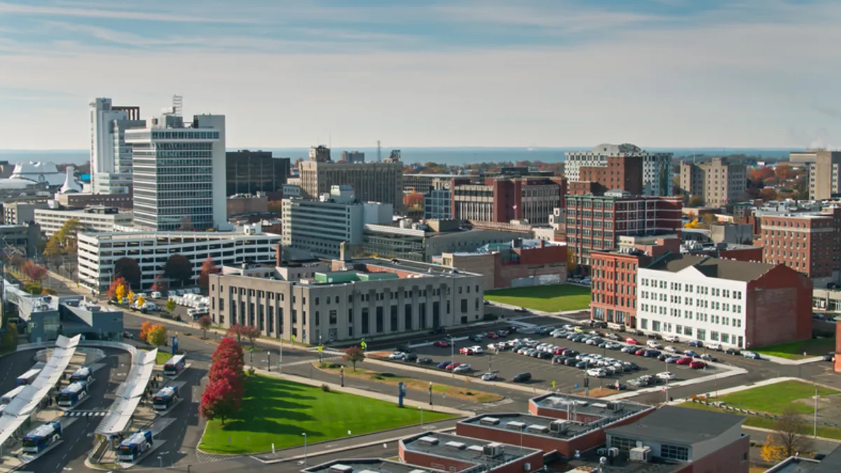
Most people aren’t familiar with the term “stroad,” a mashup of “street” and “road,” but almost everyone has had experience with one – and it likely wasn’t good.
“They're usually the roads that people talk about with dismay,” said Katherine Kortum, senior program officer at the Transportation Research Board.
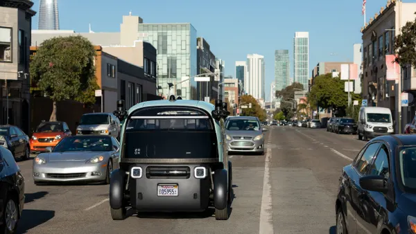
Stroads generally have speed limits of at least 35 or even 45 miles per hour, said Adie Tomer, senior fellow with Brookings Metro. They also tend to lack safety features common to highways, such as limited exits and entrances and defined median strips. Instead, stroads often feature frequent intersections and entrances into and out of businesses and retailers.
Many stroads have some level of pedestrian activity, Tomer said, though pedestrians tend to avoid them because crossing requires navigating multiple lanes of traffic. This leads to more congestion, Kortum said, because residents often use vehicles when they don’t feel safe walking, even if their destination is within walking distance.
According to a study of more than 60 “hot spots” for fatal pedestrian crashes published in the Journal of Transport and Land Use, nearly all (97%) were multilane roadways, 70% required pedestrians to cross five or more lanes and more than three-quarters had speed limits of at least 30 miles per hour.
Improving Safety and Traffic Flow
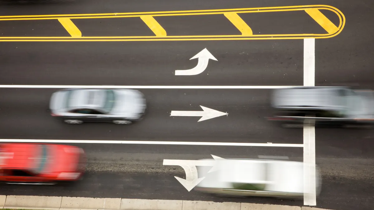
Lowering speed limits on stroads near commercial activity and making other safety improvements like green-arrow lights, narrowing right-turn lanes and improving visibility at intersections can help make stroads safer, experts say.
In Seattle, the risk of crashes with injuries dropped more than 17% when the speed limit was lowered from 25 to 20 miles per hour on nonarterial streets and from 30 to 25 on arterial streets, a study by the Insurance Institute for Highway Safety found. Kortum said limiting drivers to making left turns on green arrows means they’ll be less likely to zoom in front of oncoming traffic to turn during a green light. Improving visibility at intersections and corners can be as simple as trimming shrubbery or relocating signs that block site lines, she said. And narrowing right-turn lanes, Davis said, reduces the distance pedestrians have to cross and slows down drivers, giving them more time to look for pedestrians and bikers before turning.
Cinzia Cirillo, professor of civil and environmental engineering at the University of Maryland, said city leaders could also consider “complete street” design focusing on safe access for pedestrians, bicyclists, motorists and transit riders of all ages and abilities. Depending on the community, a complete street may include sidewalks, bike lanes, bus lanes, median islands and comfortable, accessible public transportation stops.
Who owns the road?
Cities’ efforts to make stroads safer and more productive are complicated by several challenges. Many are state-owned, and state transportation departments tend to focus on vehicle throughput, Kortum said. Dangerous By Design 2024, a study by Smart Growth America, found that 66% of all traffic deaths within the 101 largest U.S. metro areas occur on state-owned roads.
One state has taken action. In 2024, Delaware passed the Everyone Gets Home Act authorizing the Department of Transportation to designate low-speed streets and roads to address fatal roadway departure crashes related to vehicle speed. It also permits counties to request these designations to meet their own traffic safety goals
Shifting federal priorities could also present challenges. If the Trump administration shifts focus away from or cancels discretionary grant funding, that could slow momentum for local efforts to transform stroads, Kortum said. These projects often rely on flexible federal funding streams like the Safe Streets and Roads for All program, which supports context-sensitive redesigns that prioritize safety and multimodal access, she said. Without this support, cities may struggle to fund comprehensive redesigns and could be left with piecemeal improvements, she said.