Public Safety: Page
-

 Getty Images
Column
Getty Images
ColumnQuestions raised about why Maui’s emergency alert sirens were silent as Lahaina burned
Editor's note: This article was originally published in American City & County, which has merged with Smart Cities Dive to bring you expanded coverage of city innovation and local government. For the latest in smart city news, explore Smart Cities Dive or sign up for our newsletter.In the afterma...
By Andy Castillo • Aug. 17, 2023 -
Getty Images
Column
96 confirmed fatalities, 2,700 structures destroyed in Lahaina ‘fire-hurricane’
Editor's note: This article was originally published in American City & County, which has merged with Smart Cities Dive to bring you expanded coverage of city innovation and local government. For the latest in smart city news, explore Smart Cities Dive or sign up for our newsletter.In the ash...
By Andy Castillo • Aug. 14, 2023 -
Getty Images
Column
Federal, state, local governments mobilize following Maui wildfire that killed at least 55
The nation is mobilizing to aid Lahaina, Hawaii and its surrounding communities in the wake of devastating wildfire that has claimed the lives of at least 55 people on the island of Maui.
By Andy Castillo • Aug. 10, 2023 -
 Getty Images
Q&A
Getty Images
Q&AHow to safely store e-bikes, e-scooters in apartments
The uptick in micromobility battery fires shows electrification is "moving faster than we’re able to necessarily adapt to," a fire protection expert at an engineering consulting firm said.
By Mary Salmonsen • Aug. 3, 2023 -
Getty Images
Column
Proposed bill would add extreme heat to list of major disaster qualifying events
Halfway through summer, 2023 is on track to be the hottest year ever recorded globally.
By Andy Castillo • Aug. 1, 2023 -
Getty Images
Column
Report: Emergency dispatch centers are facing a staffing crisis
Editor's note: This article was originally published in American City & County, which has merged with Smart Cities Dive to bring you expanded coverage of city innovation and local government. For the latest in smart city news, explore Smart Cities Dive or sign up for our newsletter.Across the...
By Andy Castillo • July 31, 2023 -
Getty Images
Column
Report: Homeless women need safe, affordable, private housing and shelters
When it comes to public visibility, homeless people are among the most often overlooked.
By Andy Castillo • July 26, 2023 -
 Getty Images
Seattle downtown revitalization plan reimagines area post-pandemic
The plan aims to make downtown safer and more welcoming, but critics say it comes at a cost for people living on the streets.
By Joan Mooney • July 24, 2023 -
Getty Images
Column
Last month’s wildfire smoke plume in New York, New Jersey comparable to secondhand smoking
The public health impact of the Canadian wildfire smoke plume that smothered the New York and New Jersey metropolitan area earlier this summer was comparable to second-hand cigarette smoke, according to new research led by Rutgers University.
By Andy Castillo • July 24, 2023 -
 Permission granted by FDNY
Deadly battery fires from e-bikes, scooters prompt action in NYC
The city launched an education campaign, as legislators push for new policy and community groups strive to reach micromobility-reliant delivery workers.
By Kalena Thomhave • July 21, 2023 -
Getty Images
Column
Major disaster declared in Vermont following devastating flooding in Montpelier, Ludlow, and other areas
Editor's note: This article was originally published in American City & County, which has merged with Smart Cities Dive to bring you expanded coverage of city innovation and local government. For the latest in smart city news, explore Smart Cities Dive or sign up for our newsletter.Inundated ...
By Andy Castillo • July 14, 2023 -
Getty Images
Column
Advances in satellites, networking technology increase the options for disaster response planning
Of all the natural disasters that plague mankind, hurricanes are perhaps among the most predictable.
By James Clevenger • July 5, 2023 -
Getty Images
Opinion
Supporting hurricane response in Puerto Rico with aerial imagery
Editor's note: This article was originally published in American City & County, which has merged with Smart Cities Dive to bring you expanded coverage of city innovation and local government. For the latest in smart city news, explore Smart Cities Dive or sign up for our newsletter.When Hurri...
By Tracy Ray • June 29, 2023 -

TTstudio/stock.adobe.com
Sponsored by FMCSAFMCSA’s grant programs can help you improve road safety
Learn about grant funding opportunities to help improve roadway safety.
June 26, 2023 -
 Retrieved from Office of the Governor of Pennsylvania.
Collapsed I-95 overpass will be repaired, reopened in next 2 weeks
President Joe Biden called the federal government’s $3 million in quick-release funding "a down payment" after he took an aerial tour of the site.
By Colin Campbell • June 20, 2023 -
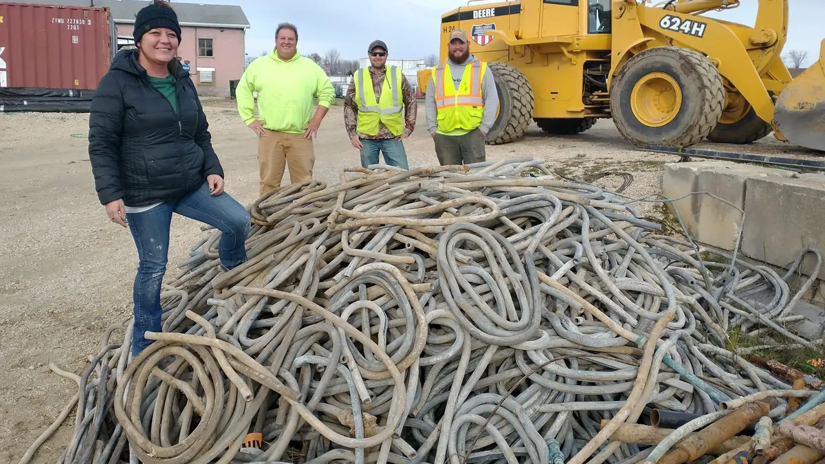
Courtesy of Courtney Steger
Getting the lead out: Courtney Steger, 2022 Exemplary Public Servant of the Year
As utilities director, Steger has spearheaded the lead pipe replacement project for Mayville, Wisconsin.
By Michelle Havich • June 16, 2023 -
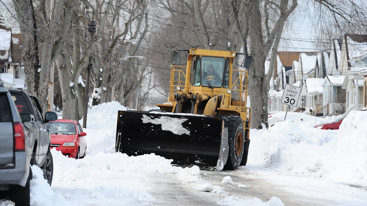 John Normile/Getty Images via Getty Images
Deadly winter storm caught Buffalo, New York, on its heels, but city can do better next time: report
The storm disproportionately resulted in the deaths of people of color, and the city did not have enough emergency vehicles, storage or warming centers, says the report commissioned by Buffalo Mayor Byron Brown.
By Ysabelle Kempe • June 9, 2023 -
 Spencer Platt via Getty Images
To reduce subway crime, NYC transit agency eyes platform doors, other options
Many people have long argued for installing platform screen doors at subway stations, but limitations exist, “so we do have to look at other things that we can implement more effectively and quickly,” an MTA spokesperson said.
By Dan Zukowski • June 8, 2023 -
Getty Images
Column
Report: Police response to homelessness is inherently punitive
Editor's note: This article was originally published in American City & County, which has merged with Smart Cities Dive to bring you expanded coverage of city innovation and local government. For the latest in smart city news, explore Smart Cities Dive or sign up for our newsletter.Clearing e...
By Andy Castillo • June 5, 2023 -
Getty Images
Column
Navigating crises with confidence: Five ways strategic plans support crisis response
Editor's note: This article was originally published in American City & County, which has merged with Smart Cities Dive to bring you expanded coverage of city innovation and local government. For the latest in smart city news, explore Smart Cities Dive or sign up for our newsletter.Some crise...
By Mike Bell • May 30, 2023 -
Getty Images
Column
LA mayor moves to scale, speed up city’s response to homelessness
Under the guidance of first term-Mayor Karen Bass, Los Angeles is addressing its homelessness crisis head on by trying to permenantly move its nearly 42,000 homeless residents off the streets.
By Andy Castillo • May 18, 2023 -
Getty Images
Column
Local leaders, NLC gather on Capital Hill to advocate for railway safety legislation
Following approval last week of the bipartisan Railway Safety Act by the Senate Commerce Committee—with an added amendment commissioning the National Academy of Sciences to study frequently blocked railway crossings—local leaders continued their push for its full Congressional approval Wednesday at an advocacy briefing on Capitol Hill hosted by the National League of Cities (NLC).
By Andy Castillo • May 17, 2023 -
 Courtesy of New York City Department of Design and Construction
Q&A
Courtesy of New York City Department of Design and Construction
Q&AHow NYC is preparing its infrastructure for extreme weather
Thu-Loan Dinh, who helps lead infrastructure design for the city’s Department of Design and Construction, discusses the agency’s biggest resilience concerns and how to address them.
By Julie Strupp • May 17, 2023 -
Getty Images
Column
Research: Priority bus corridors can bypass congestion, improve pedestrian and cyclist safety on roadways
To bypass traffic congestion in urban centers and navigate around the many different users on roadways—from passenger cars to delivery trucks, motorcycles, scooters and pedestrians—administrators turn to high-priority bus corridor projects.
By Andy Castillo • April 20, 2023 -
Getty Images
Column
Passionate about fire prevention: 2022 Exemplary Public Servant Ray Melton
Two influential events brought Ray Melton into his role as fire and life safety educator at Escambia County (Florida) Fire and Rescue.
By Andy Castillo • April 10, 2023