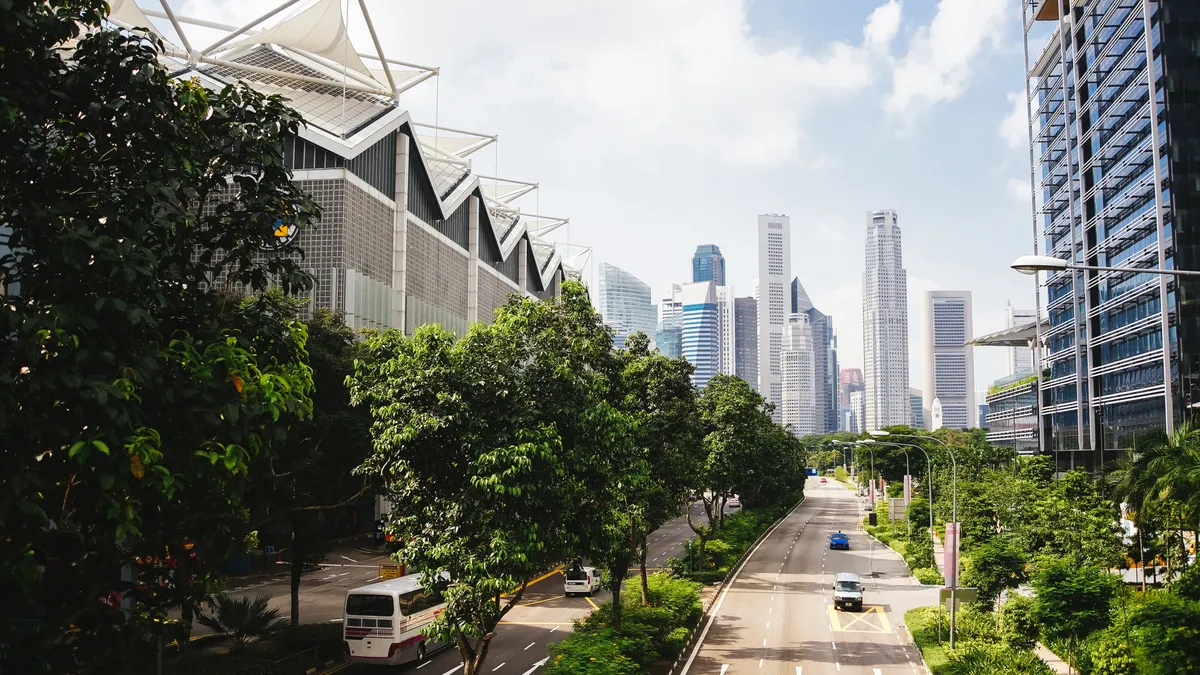
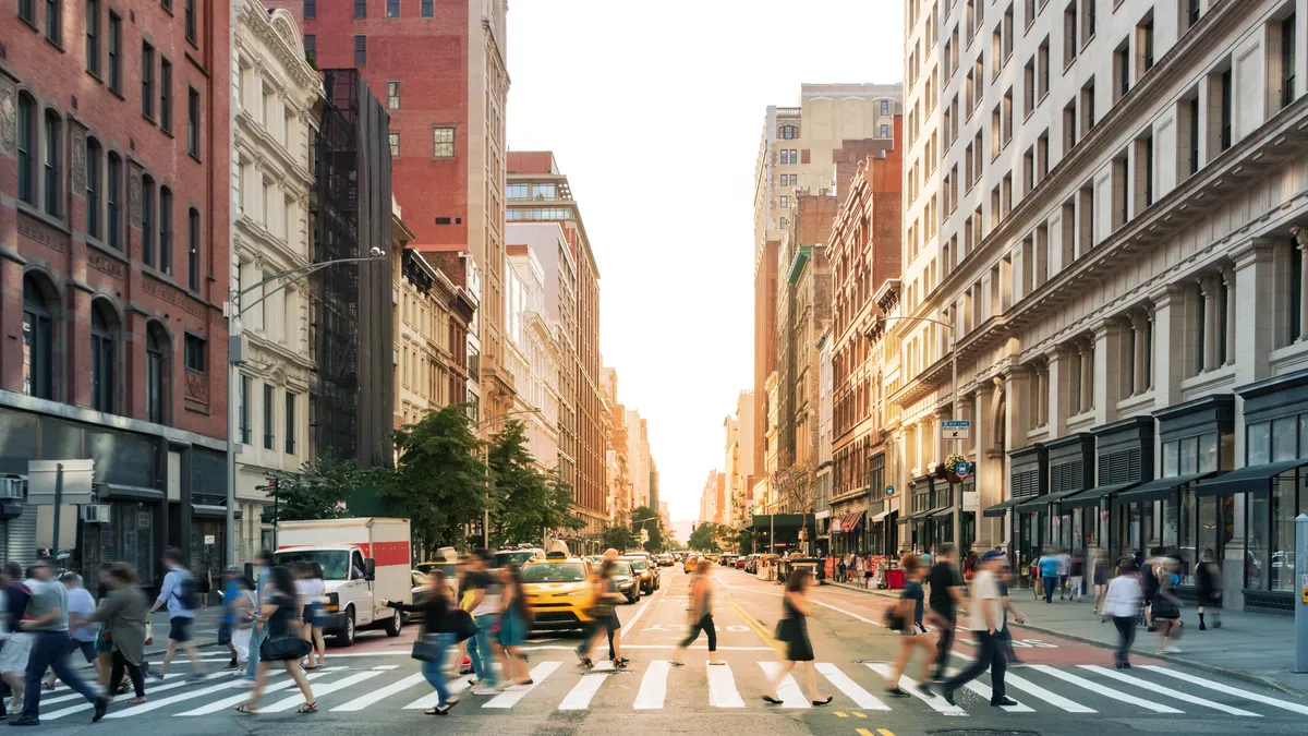
Public Safety: Page
-

 Getty Images
Column
Getty Images
ColumnIWCE 2023: To evolve with tech advancements, the fire service must adopt a culture of change
Editor's note: This article was originally published in American City & County, which has merged with Smart Cities Dive to bring you expanded coverage of city innovation and local government. For the latest in smart city news, explore Smart Cities Dive or sign up for our newsletter.To compete...
By Andy Castillo • April 5, 2023 -
 Getty Images
Sponsored by International Parking & Mobility Institute
Getty Images
Sponsored by International Parking & Mobility InstituteParking and mobility technology leaders drive progress towards larger community goals: sustainability, efficiency, and smart transportation systems
Experts at the International Parking & Mobility Institute (IPMI) are driving innovation, transformation, electrification and the future of parking & mobility.
By Rachel Yoka, CAPP, LEED AP BD+C, Chief Strategy Officer, International Parking & Mobility Institute • March 27, 2023 -
Getty Images
Column
IWCE 2022: The success, challenges of NG911 and emergency telecommunications
From smart light switches to coffee makers that can brew on command and refrigerators that can sense a fire, the internet of things has changed everything—including emergency telecommunications.
By Andy Castillo • March 22, 2023 -
Getty Images
Column
Building safety report can help local administrators evaluate security, determine and mitigate risk
Building safety report can help local administrators evaluate security, determine and mitigate risk
By Andy Castillo • March 14, 2023 -
Getty Images
Column
Report: Technology can aid wildfire response that’s ‘stuck in the last century’
Editor's note: This article was originally published in American City & County, which has merged with Smart Cities Dive to bring you expanded coverage of city innovation and local government. For the latest in smart city news, explore Smart Cities Dive or sign up for our newsletter.With each ...
March 7, 2023 -
 Angelo Merendino via Getty Images
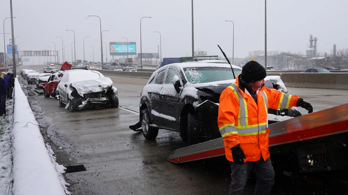
National League of Cities calls for congressional action to improve rail safety
The letter calls for specific improvements to rail safety as legislators consider new bipartisan action in response to the Ohio train derailment in February.
By Dan Zukowski • March 6, 2023 -
 Permission granted by International Parking & Mobility Institute
Sponsored by International Parking & Mobility Institute
Permission granted by International Parking & Mobility Institute
Sponsored by International Parking & Mobility InstitutePoint-counterpoint: should garages be the “gas station” of the future for electric vehicle charging?
Experts at the International Parking & Mobility Institute (IPMI) are driving innovation, transformation, electrification, and the future of parking and mobility. Plug in to the conversation on when, where, and how to charge electric vehicles for maximum impact.
By Mary Smith, PE, and Andrew Sachs, CAPP excerpted from articles in Parking & Mobility Magazine • March 6, 2023 -
Getty Images
Column
Report: Public perceptions of homelessness don’t accurately capture the challenges cities face
Report: Public perceptions of homelessness don’t accurately capture the challenges cities face
By Andy Castillo • Feb. 18, 2023 -
Getty Images
Column
Modernizing 911: Three simple steps for a faster emergency response
When people experience an emergency or life-threatening situation, they dial 911 with the expectation that help will quickly be on the way. However, due to emergency center staffing shortages, large call volumes and other factors, 911 response times have increased in recent years. In some cities, it can even take hours for help to arrive.
By Brandon Shopp • Feb. 17, 2023 -
Getty Images
Column
U.S. Department of Transportation announces $645M to update rural roadways, improving mobility and safety
U.S. Department of Transportation announces $645M to update rural roadways, improving mobility and safety
By Andy Castillo • Feb. 13, 2023 -
Getty Images
Column
Call for asphalt artists in Louisville seeks to make streets vibrant, safer
Artwork painted on pavement doesn’t only highlight the skill of the local asphalt artists who put it there, it also makes the street where it’s installed safer.
By Andy Castillo • Feb. 9, 2023 -
 Scott Olson via Getty Images
US DOT launches roadway safety call to action
Nearly 50 governments, non-government organizations and private-sector partners have committed to taking specific actions this year to reduce roadway deaths.
By Dan Zukowski • Feb. 3, 2023 -
 Spencer Platt via Getty Images
Deep Dive
Spencer Platt via Getty Images
Deep DiveTo close budget gaps, transit agencies face hard decisions in 2023
Remote work, crime and reduced service are deterring riders and cutting into fare revenue, leaving agencies to look for new funds or cut service.
By Dan Zukowski • Jan. 31, 2023 -
Getty Images
Column
Writing a Protest Response
By Jack Zeigler,CPPO, C.P.M. Before discussing the subject of bid protests, an obligatory caveat is in order.
Jan. 27, 2023 -
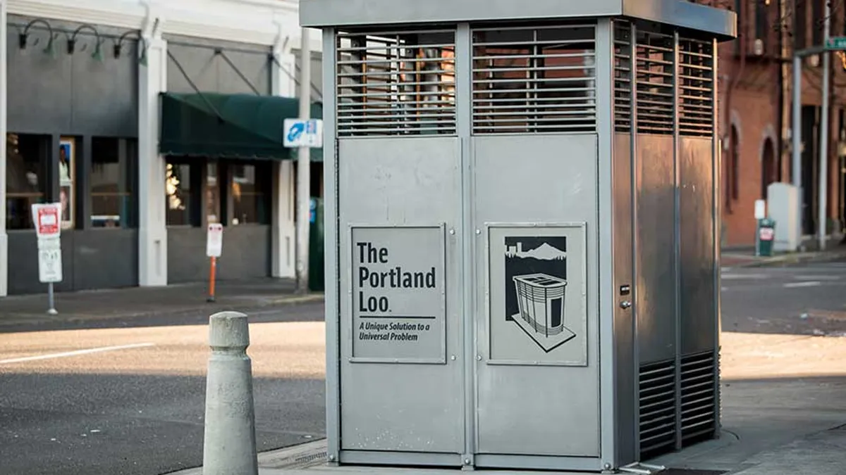 Permission granted by The Portland Loo
Phoenix launches 24-hour public restroom pilot at a homeless shelter
The city will install The Portland Loo, which was created to help cities and nonprofits provide people experiencing homelessness with access to a public restroom.
By Danielle McLean • Jan. 27, 2023 -
 Getty Images
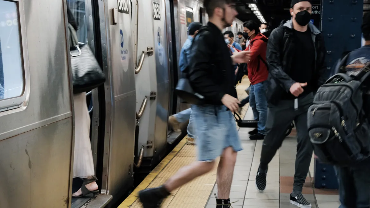
NYC says vehicles equipped with speed limit tech reduced unsafe driving
Intelligent speed assistance technology installed in 50 fleet vehicles since August has resulted in near-universal compliance with local speed limits and a 36% reduction of hard-braking events, New York City officials announced.
By Danielle McLean • Jan. 18, 2023 -
 Getty Images
CES 2023
Getty Images
CES 2023Las Vegas invests in connected vehicle technology
Cameras and sensors transmit traffic safety information to emergency response and autonomous vehicles.
By Dan Zukowski • Jan. 18, 2023 -
Scott Olson via Getty Images
Traffic fatalities dipped in 2022 while pedestrian and cyclist deaths rose: NHTSA
Despite improvements in some areas, safety advocates decried concerning trends faced by pedestrians and cyclists.
By Dan Zukowski • Jan. 10, 2023 -
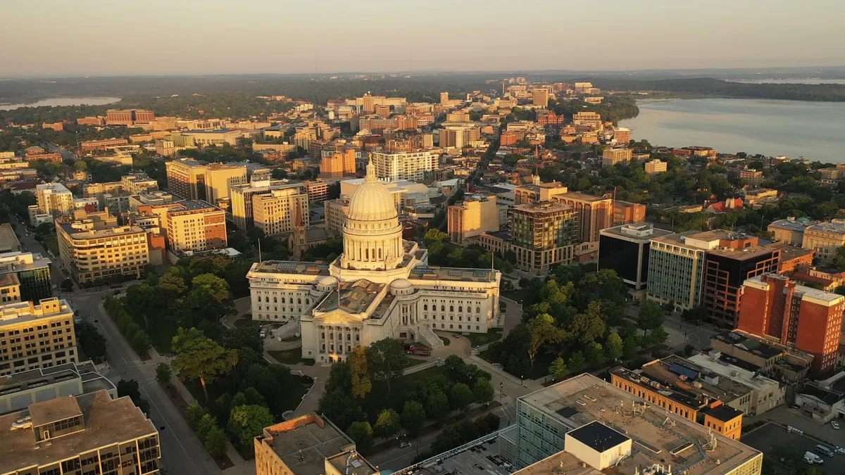 Getty Images
Madison, Wisconsin, approves complete green streets policy
The capital city’s new guide attempts to align with safety and sustainability goals and provide a more consistent and equitable framework for making decisions about the public right of way.
By Maria Rachal • Jan. 6, 2023 -
 Getty Images
SEPTA’s AI gun detection pilot aims to reduce gun violence, address staffing concerns
Through the six-month pilot, Pennsylvania-based ZeroEyes will use the Southeastern Pennsylvania Transportation Authority’s existing camera system to spot any object in the shape of a gun, but critics say greater surveillance creates risk of misidentification.
By Stephenie Overman • Jan. 5, 2023 -
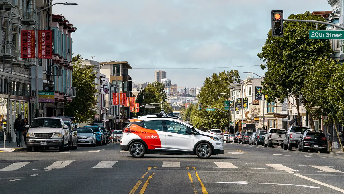 Courtesy of Cruise
Federal safety regulators begin investigation into self-driving taxis
The National Highway Traffic Safety Administration is delving into reported incidents of GM’s Cruise autonomous ride-hailing vehicles hard braking or becoming disabled.
By Dan Zukowski • Dec. 22, 2022 -
 Getty Images
Sponsored by GM Future Roads
Getty Images
Sponsored by GM Future RoadsBridging the road safety divide with connected car data.
Whether in a motor vehicle, on a bike or motorcycle or as a pedestrian, road and traffic safety remains a serious problem.
By Harnit Anand, Manager, Global Innovation, Future Roads & Smart City Incubation • Dec. 12, 2022 -
 Getty Images
Portland, Oregon, passed a controversial homelessness mitigation plan. Here’s why and what comes next.
Amid discontent over the city’s homelessness crisis, Portland’s city council passed resolutions to address the issue. But opponents say parts of the plan won’t work and appear politically motivated.
By Katie Pyzyk • Dec. 6, 2022 -
Getty Images
Smart cities in 2022 - what you need to know
Rail expansion, emerging technologies such as digital twins and air taxis and new approaches to transit and housing have driven the news this year. Catch up with highlights from Smart Cities Dive.
By Danielle McLean • Dec. 2, 2022 -
 Drew Angerer via Getty Images
Charlotte phone app warns drivers of behavior that puts pedestrians, others at risk
As part of the North Carolina city’s ongoing Vision Zero campaign, drivers using the TravelSafely app will be alerted when they are driving too fast in certain areas or approaching pedestrians in crosswalks.
By Danielle McLean • Nov. 23, 2022