Public Safety: Page
-

 Getty Images
Column
Getty Images
ColumnVirtual crisis care: How real-time telemedicine counseling can improve outcomes and conserve resources
Editor's note: This article was originally published in American City & County, which has merged with Smart Cities Dive to bring you expanded coverage of city innovation and local government. For the latest in smart city news, explore Smart Cities Dive or sign up for our newsletter.The nation...
By Brian Erickson • July 7, 2022 -
Getty Images
Column
Nevada police department, medical school, partner to train officers in emergency first aid
Amid the disturbing rise of mass shootings over the last few decades (most recently, the tragedy in Highland Park, Ill. over the holiday weekend), police and law enforcement organizations across the United States—regardless of size—are at the front line of defense. Standard operating procedures and training norms have likewise evolved to meet the modern day challenge.
By Andy Castillo • July 5, 2022 -
Getty Images
Column
Report: Reforming emergency dispatch won’t be easy, but it’s necessary
Over the last several years, reforming law enforcement has been a primary topic of discussion in communities across the nation.
By Andy Castillo • June 30, 2022 -
 Getty Images
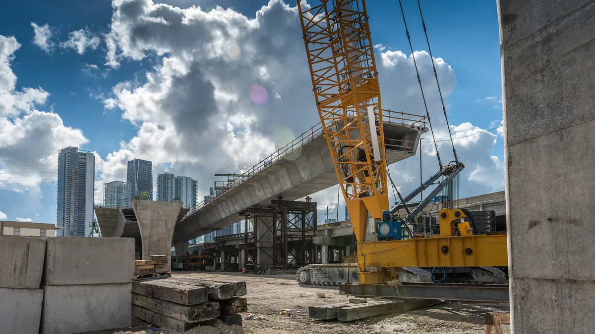
Mayors’ top 4 priorities in 2022: NLC’s State of the Cities report
With federal dollars on the way, infrastructure reigned supreme for the second year in a row, according to the National League of Cities’ annual analysis of U.S. state of the city addresses.
By Danielle McLean • June 24, 2022 -
 Justin Sullivan via Getty Images
Cars using self-driving technology involved in hundreds of crashes over 10 months: NHTSA
Tesla vehicles using advanced driver assistance systems — like its Autopilot feature — were involved in 75% of the reported crashes between July 2021 and May 15, 2022, according to NHTSA data.
By Danielle McLean • June 15, 2022 -
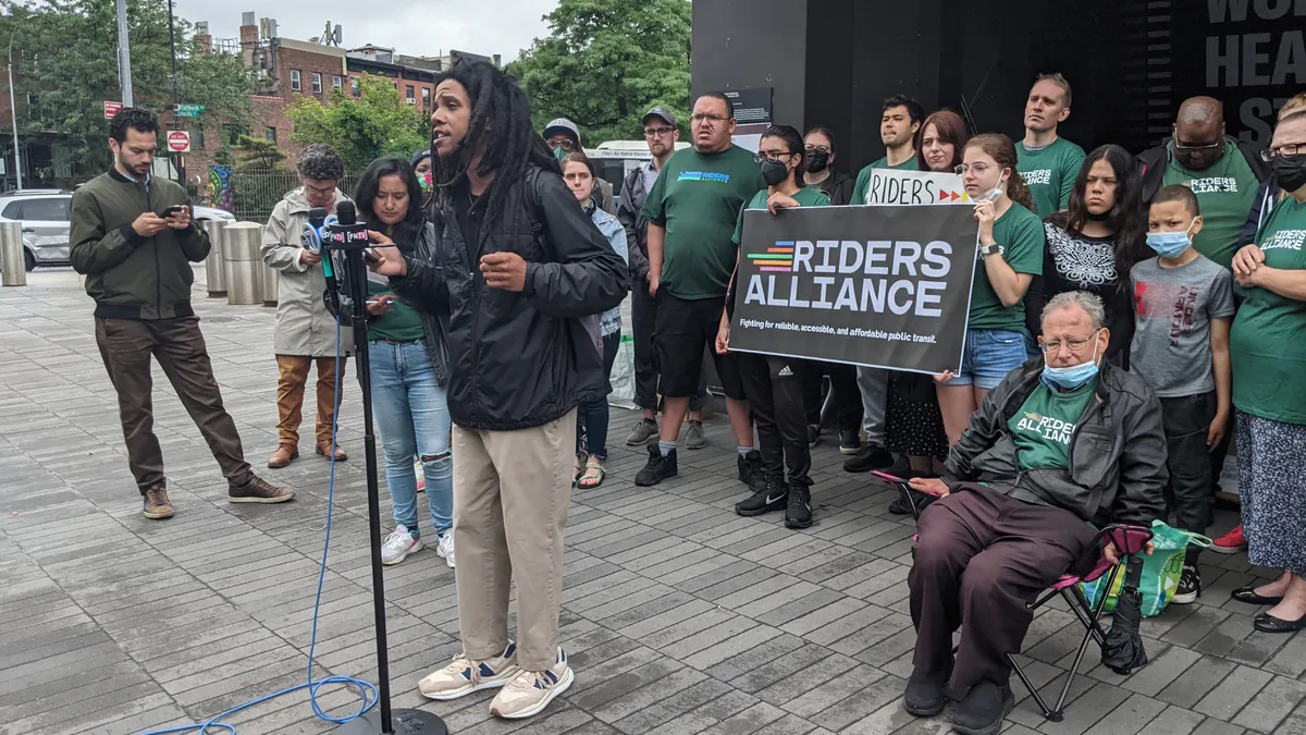 Permission granted by Danny Pearlstein/Riders Alliance
Transit advocates create NYC subway safety plan to address root causes of crime
The Riders Alliance held a rally in Brooklyn this weekend to roll out a public safety plan that calls for funding for shelter beds and permanent housing, among other measures, to improve safety.
By Dan Zukowski • June 13, 2022 -
 Scott Olson via Getty Images
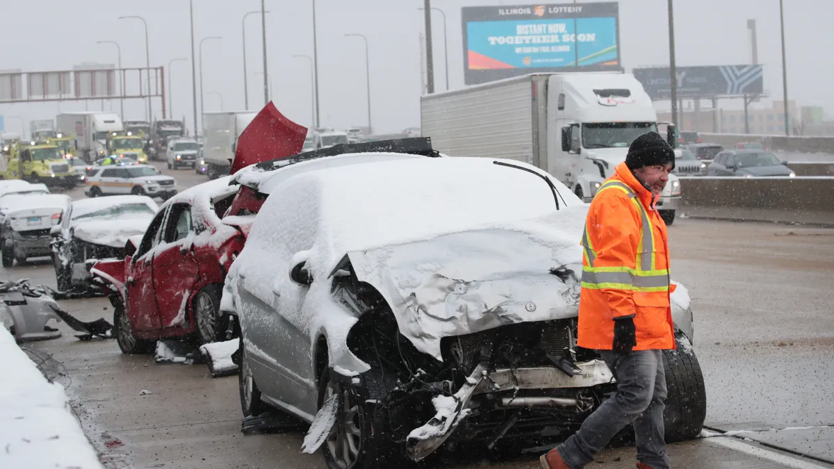
Traffic deaths addressed in House transportation subcommittee hearing
Witnesses spoke about the surge in traffic fatalities, including pedestrian and bicyclist deaths while warning that inflation is eating into the funds available from the bipartisan infrastructure law to address these issues.
By Dan Zukowski • June 9, 2022 -
 Scott Olson via Getty Images
7 community-led initiatives to address gun violence in cities: report
The Center for American Progress released a report last week providing steps Texas city and county leaders can take to address gun violence, actions that could potentially be replicated nationwide.
By Cailin Crowe • June 2, 2022 -
Getty Images
Column
Texas community to form holistic mental health crisis response teams
For decades, the responsibility of helping those experiencing a mental health crisis has fallen to police departments, and communities across the United States have grappled with the safety and effectiveness of this distribution of duties— wondering if there’s a better way to get constituents the help they need.
By Andy Castillo • June 2, 2022 -
 Getty Images
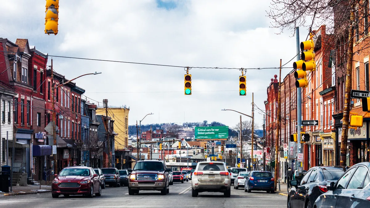
Pittsburgh targets bike, pedestrian infrastructure spending using traffic and crash data analysis
Adding StreetLight Data’s trip information to the city’s crash data, the project found that areas with less bike and pedestrian traffic experienced the most severe crashes.
By Charles Pekow • May 26, 2022 -
 Justin Sullivan via Getty Images
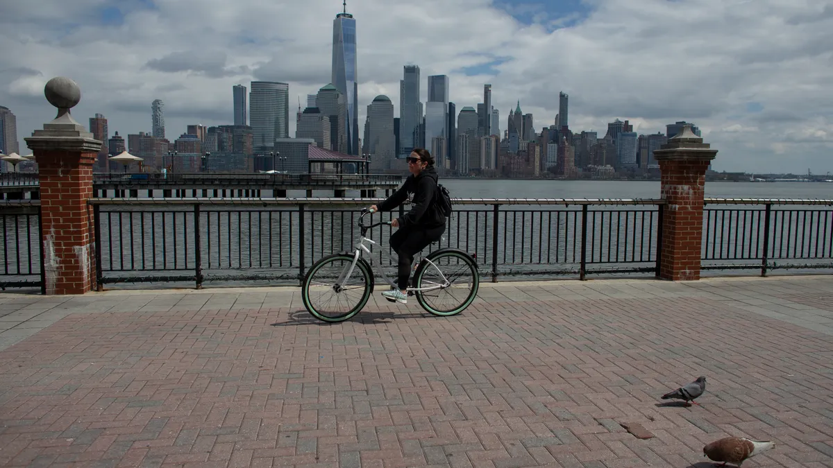
Mobility leaders dream of a less car-centric future
At the National Shared Mobility Summit, leaders envisioned a more accessible and racially equitable shared mobility landscape, highlighting the role of compensated community engagement to help achieve that vision.
By Cailin Crowe • May 23, 2022 -
 Mario Tama via Getty Images
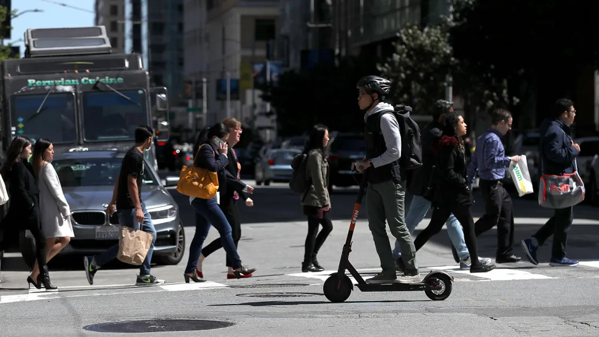
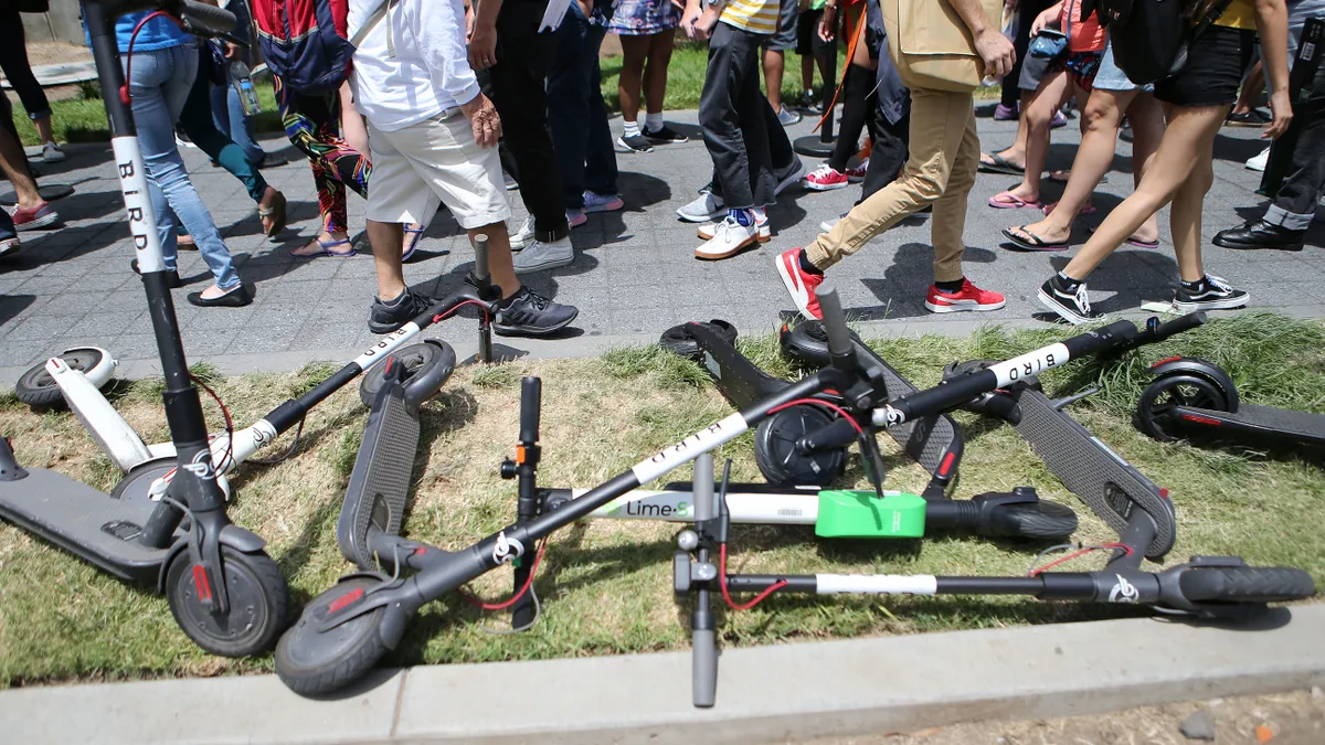
As scooter activity rebounds, San Diego cracks down with new restrictions
With the return of riders and tourists following the pandemic's dramatic dip, the city proposes quadrupling operator fees and tightening regulations in response to dangerous sidewalk use.
By Dan Zukowski • May 6, 2022 -
 Garcetti, Eric. (2021). "State of the City 2021" [Photograph]. Retrieved from Flickr.
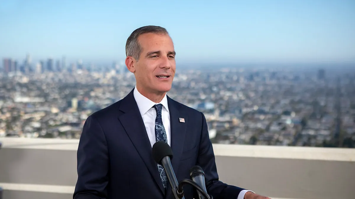
Los Angeles moves forward with diverting some 911 calls to mental health professionals
The program is one of many alternative policing models cities have implemented since 2020's nationwide racial justice protests following the murder of George Floyd.
By Austyn Gaffney • March 24, 2022 -
 Spencer Platt via Getty Images
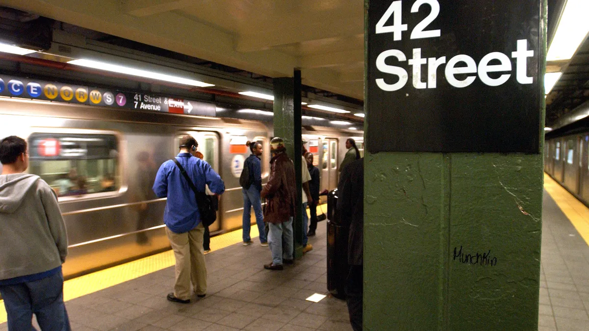
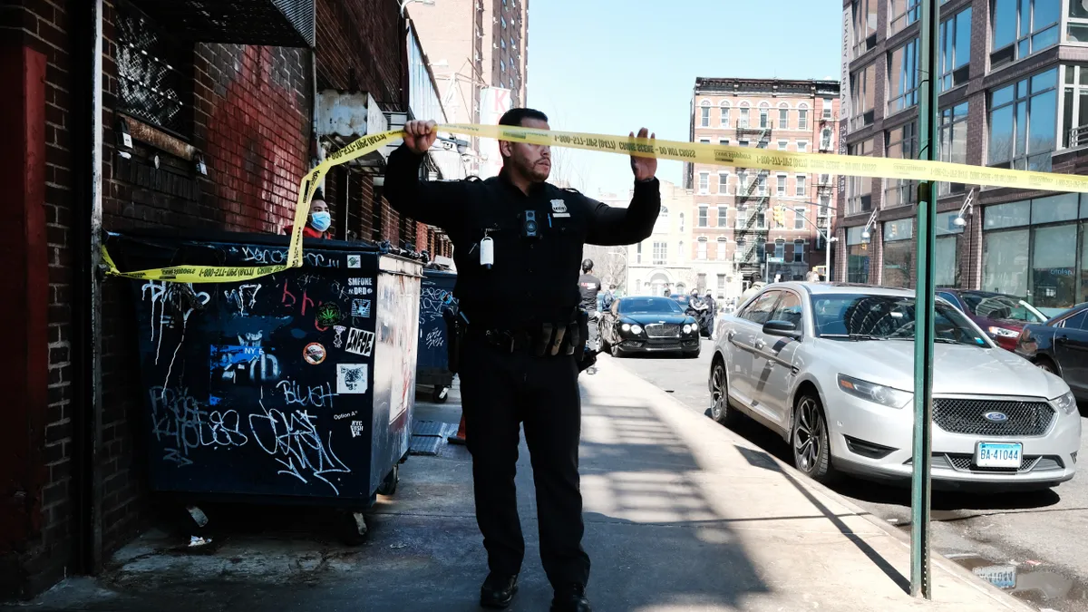
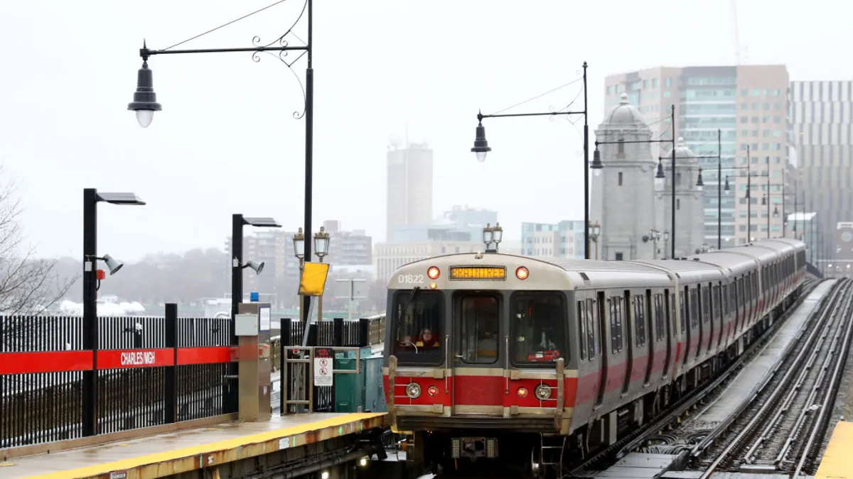
Cities face rising transit crime that might deter riders
In response to recent high-profile attacks in the subway system, New York City is removing over 1,000 people experiencing homelessness who use the system as a shelter. Other cities are facing increased transit crime as well.
By Dan Zukowski • Feb. 25, 2022 -
 Spencer Platt via Getty Images
To confront gun violence, San Jose, California, tries requiring insurance
The city, which has seen three mass shootings in three years, is one of several localities to try new approaches to prevent gun violence with the help of new funding from the Biden administration.
By Austyn Gaffney • Feb. 10, 2022 -
 Steffi Loos via Getty Images
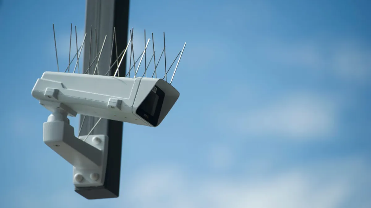
San Francisco mayor proposes loosening landmark surveillance ordinance
The proposal aims to provide law enforcement with real-time access to camera footage in a bid to address increased rates of crime. But privacy experts caution it would result in significant civil liberties consequences.
By Cailin Crowe • Feb. 4, 2022 -
Getty Images
Column
2021 Crown Communities Award winner: Benicia, Calif.’s ‘forward-thinking’ pandemic response
2021 Crown Communities Award winner: Benicia, Calif.’s ‘forward-thinking’ pandemic response
By Andy Castillo • Jan. 27, 2022 -
 Drew Angerer via Getty Images
8 trends shaping cities in 2022
Cities continue to confront challenges surrounding the pandemic, the climate crisis, rising inequality and public safety this year.
By Cailin Crowe, Danielle McLean, Maria Rachal, Dan Zukowski and Jason Plautz • Jan. 26, 2022 -
 Justin Sullivan via Getty Images
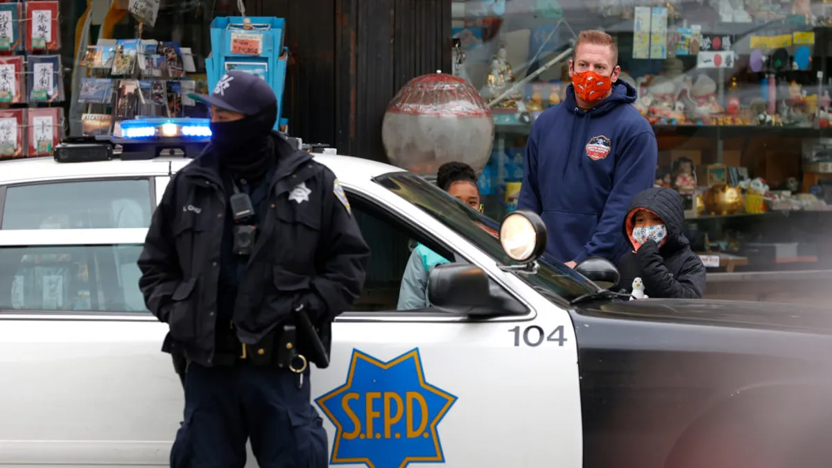
San Francisco becomes latest city to reverse course and increase police budget
With the mayor declaring a state of emergency over crime and drug overdose rates, San Francisco is the latest city to backtrack on calls for police budget cuts. What does this retrenchment mean for police reform, public safety?
By Austyn Gaffney • Jan. 19, 2022 -
 Maddie Meyer via Getty Images
Boston’s new chief of streets to steer city beyond car-centric transportation
Former city CIO Jascha Franklin-Hodge will begin the role in January, aiming to support the sustainable transportation ideas that recently elected Mayor Wu campaigned on, including fare-free bus routes.
By Cailin Crowe • Dec. 10, 2021 -
 Kena Betancur/Stringer for Getty Images via Getty Images
Jersey City to add network of secure bike lockers doubling as transit shelters
The placemaking installations near transit hubs will be the nation's first holistic network of secure bike parking, according to a local official, supporting local cycling culture as many residents have cited concerns about bike theft.
By Jason Plautz • Dec. 9, 2021 -
Getty Images
Column
Ensuring equitable public safety responses in college towns
In college towns across the United States, students run into many of the same dangers as the general public—traffic accidents, hit and runs, housing disasters and general crime.
By Matthew J. Capaldi • Dec. 1, 2021 -
Getty Images
Opinion
How local government agencies can protect communities from severe weather
Editor's note: This article was originally published in American City & County, which has merged with Smart Cities Dive to bring you expanded coverage of city innovation and local government. For the latest in smart city news, explore Smart Cities Dive or sign up for our newsletter.A record n...
By Todd Miller • Nov. 15, 2021 -
Getty Images
Column
Report: First responders use smartphones more than mobile radios
Editor's note: This article was originally published in American City & County, which has merged with Smart Cities Dive to bring you expanded coverage of city innovation and local government. For the latest in smart city news, explore Smart Cities Dive or sign up for our newsletter.A short de...
By Andy Castillo • Nov. 15, 2021 -
Getty Images
Opinion
Government can use tech solutions to lower motor vehicle fatalities
Traffic deaths and serious injuries on our roadways are preventable.
By Christina Aizcorbe • Nov. 2, 2021