Public Safety: Page
-

 Getty Images
New gun-control laws forge ahead in Columbus, Ohio
Some cities have recently restricted the use and possession of guns. Columbus is targeting large-capacity magazines and unsafe handling while eyeing universal background checks and an assault weapon ban.
By Danielle McLean • Nov. 11, 2022 -
 Justin Sullivan via Getty Images
Auto industry reassesses autonomous vehicles, creating uncertainty for city leaders
AV developers promise safer, more sustainable mobility in cities but are dogged by crashes and errors. Are better technologies just around the corner?
By Dan Zukowski • Nov. 7, 2022 -
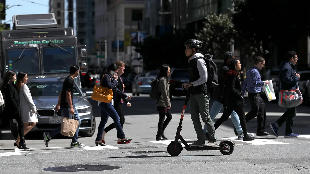 Justin Sullivan via Getty Images
E-scooter accidents surge as the micromobility devices’ popularity grows
The number of scooter-related emergency room visits grew nearly 450% in the U.S. between 2017 and 2021, according to the U.S. Consumer Product Safety Commission.
By Charles Pekow • Nov. 1, 2022 -
 Scott Olson via Getty Images
Landlords bear the burden of gun safety in their communities
Most states leave tough decisions about the complicated issue of firearm restrictions to multifamily property owners.
By Robyn Griggs Lawrence • Oct. 12, 2022 -
 Mark Wilson via Getty Images
When Canada geese swarm cities, officials flock to solutions
Once on the brink of extinction, Canada geese have roared to a comeback. Today, their overpopulation in much of the U.S. leads to feces-contaminated parks and waterways.
By Adina Solomon • Oct. 6, 2022 -
 Getty Images
Sponsored by GM Future Roads
Getty Images
Sponsored by GM Future RoadsConnected vehicle insights help Washington D.C. better understand school zone traffic safety
The district uses crash, volume, speed and demographic information from Safety View by GM Future Roads and INRIX to help reduce injuries among children.
Sept. 26, 2022 -
 Drew Angerer via Getty Images
Community involvement needed in traffic safety strategies, Vision Zero manager says
A systematic approach to planning that assumes human error was among the strategies urged at a Washington, D.C.-area summit. Meanwhile, U.S. DOT seeks public input on vulnerable individuals and intersection safety.
By Charles Pekow • Sept. 23, 2022 -
 Getty Images
To break an impasse in connected vehicle tech, transportation leaders call for a federal policy framework
A national framework could address the chicken-and-egg problem of who should invest in the technology first, carmakers or communities, transportation experts say. Without such guidance, each is hesitant to move forward.
By Michael Brady • Sept. 19, 2022 -
 Spencer Platt via Getty Images
With attacks on public transit up, cities struggle to make riders feel safer
Already grappling with depressed ridership, U.S. cities are responding to increased violent crime on public transportation, which recent analyses have reported, with “transit ambassadors” and other approaches.
By Dan Zukowski • Sept. 14, 2022 -
 Permission granted by The San Diego Public Library
San Diego adds social worker to assist homeless public library patrons
The two-year pilot will provide support for unhoused individuals experiencing substance use or mental health issues instead of relying on untrained library staff to do so.
By Danielle McLean • Sept. 12, 2022 -
 Getty Images
Automatic braking systems have trouble seeing pedestrians at night: IIHS test
Automatic emergency braking systems, a standard feature on most new cars, did well in identifying pedestrians during the day but performed poorly at night in tests conducted by the Insurance Institute for Highway Safety.
By Dan Zukowski • Aug. 31, 2022 -
 Getty Images
Column
Getty Images
ColumnFrom emergency response to strategic planning: A Kilauea case study
Editor's note: This article was originally published in American City & County, which has merged with Smart Cities Dive to bring you expanded coverage of city innovation and local government. For the latest in smart city news, explore Smart Cities Dive or sign up for our newsletter.When volca...
By Joel Burroughs • Aug. 28, 2022 -
Getty Images
Column
DHS announces $550M in competitive grants for emergency preparedness, bringing total investment to $2B
Editor's note: This article was originally published in American City & County, which has merged with Smart Cities Dive to bring you expanded coverage of city innovation and local government. For the latest in smart city news, explore Smart Cities Dive or sign up for our newsletter.Each unpre...
By Andy Castillo • Aug. 22, 2022 -
 Gustavo Caballero via Getty Images
Smart streetscapes center plans community-driven research in 3 cities
Harlem, New York; New Brunswick, New Jersey; and West Palm Beach, Florida, will become test beds for community-informed engineering research on smart cities technologies.
By Maria Rachal • Aug. 17, 2022 -
 Permission granted by BIG and Bucharest Studio
For his new smart desert city, billionaire Marc Lore eyes Nevada, Utah and Arizona
During a town hall in New York City, the Diapers.com founder and his team envisioned Telosa having dozens of “15-minute cities” and a resident-controlled endowment to help pay for government services.
By Adina Solomon • July 29, 2022 -
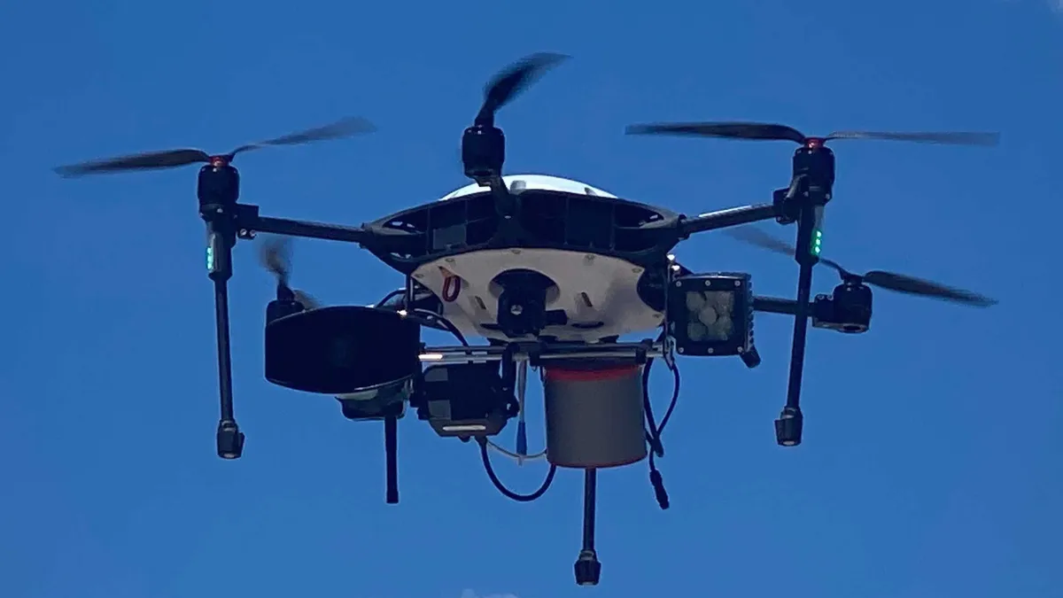 Permission granted by Bond
Coral Gables, Florida, deploys drones designed to respond to emergencies sooner than police
Bond's Air Guardian surveils for threats during large events, identifies suspects during ongoing criminal activity and assesses fires or natural disasters before first responders can arrive.
By Danielle McLean • July 26, 2022 -
Getty Images
Police adopt license plate readers at an accelerating pace
Without a doubt, more law enforcement agencies are acquiring automated license plate reader cameras and technology (ALPR).
By Michael Keating • July 25, 2022 -
Getty Images
Column
Key considerations for local governments seeking compliance with the Americans with Disabilities Act
The Centers for Disease Control (CDC) estimates that one-in-four adults in the Unites States are living with disability, and that number may still rise as our largest generation, the Baby Boomers, continue to age.
By Chris Round • July 22, 2022 -
 Getty Images
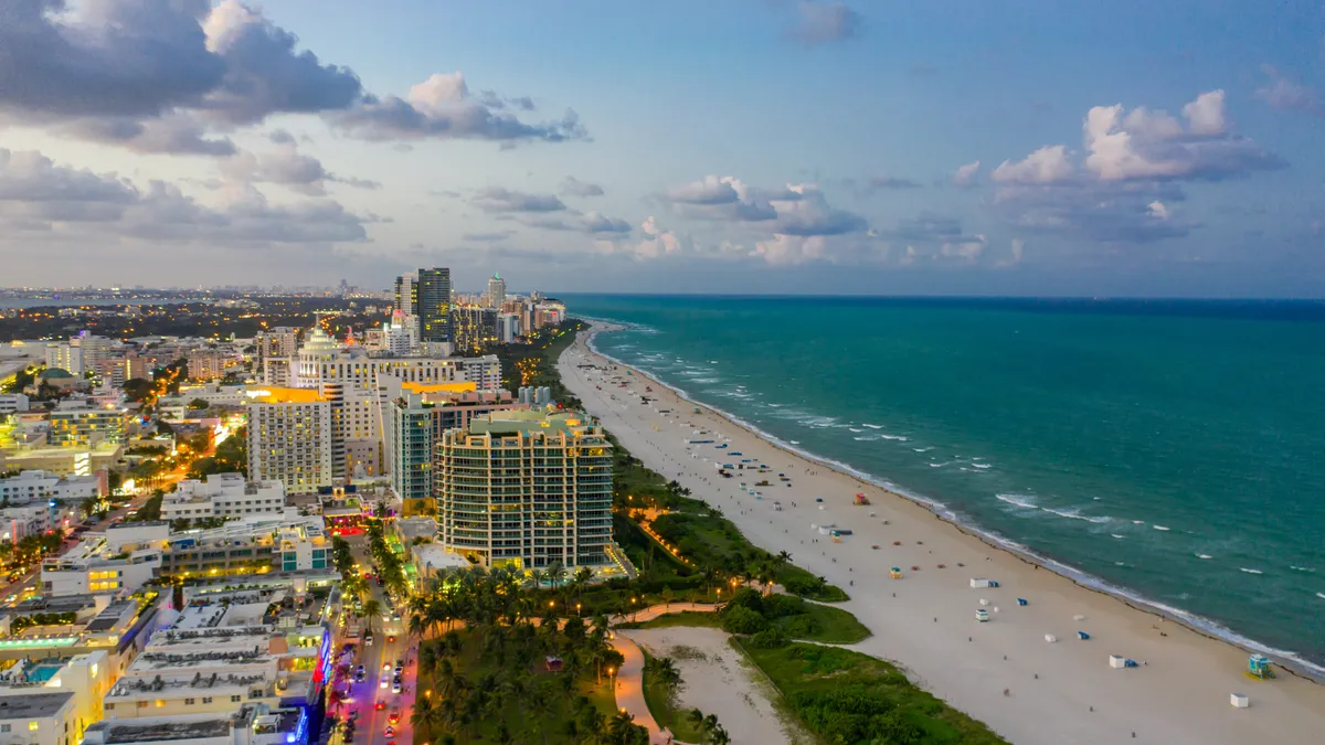
Miami Beach pilot aims to address loud cars with noise-detecting cameras
Following implementation in Knoxville, Tennessee, and New York City, the Florida city is looking to use technology to help crack down on noise violations from vehicles.
By Danielle McLean • July 22, 2022 -
Getty Images
Public has fair level of confidence in public safety during weather and natural disasters, survey finds
Severe storms have been growing in strength due to climate change. Massive heat waves are currently hitting regions across the United States, while wildfire season is well underway.
By Michelle Havich • July 21, 2022 -
Getty Images
Column
Making school zones safer for students and pedestrians
Making school zones safer for students and pedestrians
By Wes Guckert, PTP • July 20, 2022 -
 Jeff Swensen via Getty Images
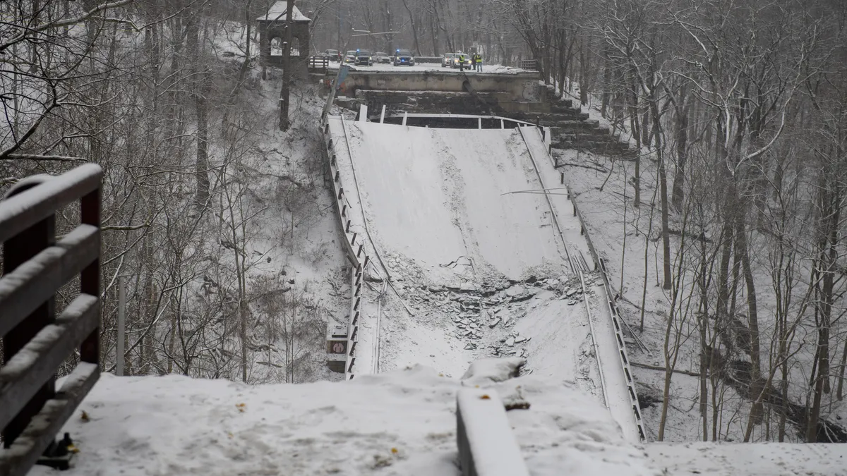
After a bridge collapse, Pittsburgh greenlights comprehensive bridge evaluation
The “City of Bridges” approved a two-year, $1.5 million contract on Tuesday for engineering review of all 150 city-owned bridges, with a report expected by October.
By Austyn Gaffney • July 20, 2022 -
 Brandon Bell/ Getty Images via Getty Images
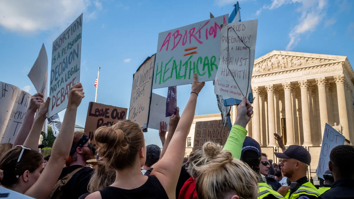
Some cities are trying to secure abortion access. Can they succeed?
City leaders and prosecutors are vowing to protect those seeking an abortion as multiple states implement restrictions. Experts say the effectiveness of their methods is unclear.
By Karen Kroll • July 18, 2022 -
 Drew Angerer via Getty Images
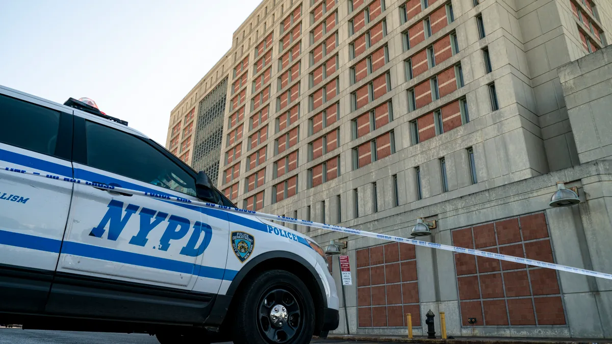
NYC seeks to cut gun crime-related testing time in half with dedicated DNA unit
The science-driven unit aims to accelerate testing on gun crime evidence to 30 days or less, which the city says will expedite cases.
By Katie Pyzyk • July 12, 2022 -
 Courtesy of Smart Growth America
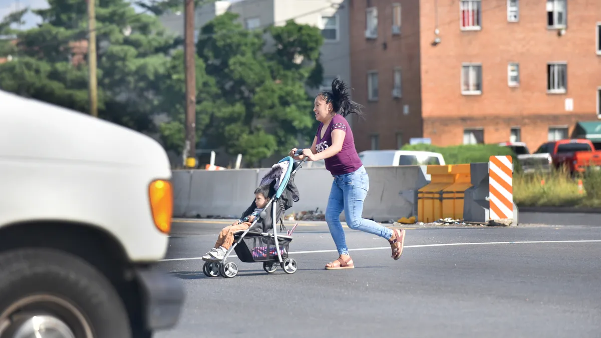
Pedestrian deaths continue to rise, with Sun Belt cities the most dangerous: report
Between 2010 and 2020, 81 of the top 100 metropolitan areas grew deadlier for pedestrians, with Sun Belt cities having some of the worst track records, according to the latest Dangerous by Design report, released today.
By Dan Zukowski • July 12, 2022