Tech & Data: Page 2


  • Boston Harbor is shown, depicting water in the foreground, tall buildings behind and blue sky in the background. A small plane flies above the water.
    Image attribution tooltip
    Michael M. Santiago / Staff via Getty Images
    Image attribution tooltip

    6 U.S. cities will get data analytics, AI support via international alliance

    The Bloomberg-backed City Data Alliance aims to equip city leaders with tools and coaching to modernize services and meet evolving resident needs.

    By Aug. 4, 2025
  • A cardboat cutout of a green cart wearing glasses that says “I’m Professor Green, ask me what to do with your food waste" in front of Griffith Observatory.
    Image attribution tooltip
    Permission granted by LA Sanitation
    Image attribution tooltip

    Cities and waste facility operators turn to AI for recycling education revamp

    As recycling rates stagnate, cities are testing smarter ways to help residents sort waste — from tamales to chopsticks — right at the bin.

    By Leslie Nemo • July 31, 2025
  • Trendline

    Smart Cities Technology and Data

    Cities are increasingly looking to technology and data to address real-world issues from traffic safety to law enforcement.

    By Smart Cities Dive staff
  • People hugging
    Image attribution tooltip


    PeopleImages.com / Beaunitta Van Wyk
     

    Image attribution tooltip
    Sponsored by Unite Us

    Cost-savings (finally) within everyone’s reach: Proactive, whole-person care

    Proactive care saves money & lives. See how one Ohio county saved $3M in one year.

    July 29, 2025
  • View of intersection showing a red light and a stopped SUV.
    Image attribution tooltip
    Getty Images
    Image attribution tooltip

    North Carolina installs 2,500 AI-based traffic signals

    The largest live statewide deployment of AI-based traffic signal software in the U.S. will help traffic engineers improve signal operations, according to Flow Labs.

    By July 29, 2025
  • A detailed landscape design plan showing topographic contour lines, orange building illustrations, green trees, and directional arrows. The layout includes winding paths and clustered vegetation. A triangular scale ruler lies on the left, and three colored pencils, colored blue, green, and yellow, rest on the lower right corner of the page.
    Image attribution tooltip
    Getty Images
    Image attribution tooltip
    Column

    Paper-based payments are gone for good: What state and local governments need to know

    Adopting digital payment methods such as digital wallets can have time and cost-saving benefits for resource-constrained local governments.

    By Jamie Rosenberg • July 28, 2025
  • A person holds a stylus against a tablet standing upright as a display. The tablet shows graphs and charts indicating financial planning.
    Image attribution tooltip
    Natalie Forman/Smart Cities Dive
    Image attribution tooltip

    The Municipal Cost Index is now on Smart Cities Dive. Here’s what you need to know.

    Since 1978, American City & County’s proprietary tool has helped local governments determine the cost of providing services to their residents.

    By July 28, 2025
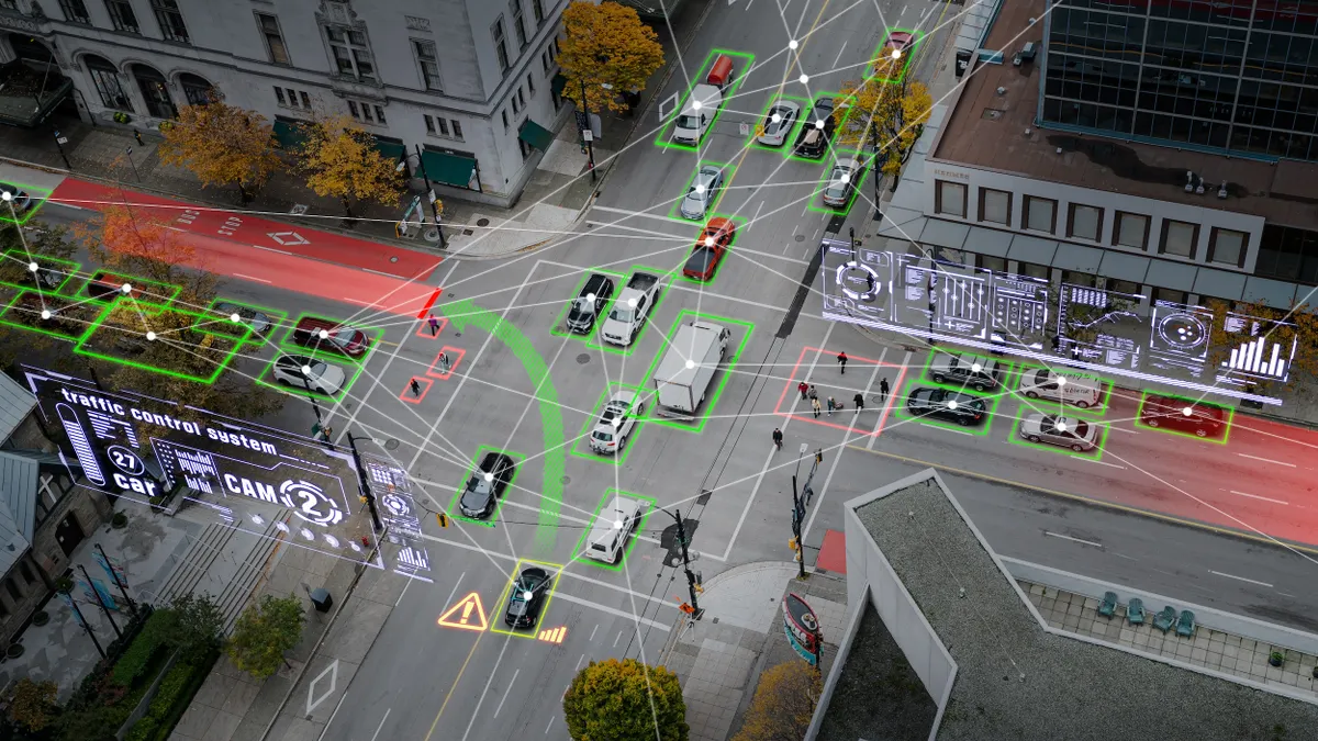
  • Aerial shot of vehicles on intersecting roads, with circle icons connected by lines in the foreground
    Image attribution tooltip
    Getty Images
    Image attribution tooltip

    Bill looks to expand AI, cybersecurity resources for local governments

    House lawmakers this week reintroduced the Smart Cities and Communities Act, which would allocate $1.1 billion for technology, but similar proposals have struggled to advance in the past. 

    By July 25, 2025
  • People riding bikes in a bike lane with cars and a bus on the main street.
    Image attribution tooltip
    Justin Sullivan via Getty Images
    Image attribution tooltip

    More than 30K warnings issued in first weeks of San Francisco speed cameras

    Mayor Daniel Lurie sees automated traffic enforcement tools as a critical addition in the face of an understaffed police department.

    By July 18, 2025
  • A detailed landscape design plan showing topographic contour lines, orange building illustrations, green trees, and directional arrows. The layout includes winding paths and clustered vegetation. A triangular scale ruler lies on the left, and three colored pencils, colored blue, green, and yellow, rest on the lower right corner of the page.
    Image attribution tooltip
    Getty Images
    Image attribution tooltip
    Column

    Why web accessibility is good policy, regardless of mandates or deadlines

    Making sure your website and digital services are accessible to everyone in the community, regardless of ability, builds trust and greater engagement with local government and civic life.

    By Brenden Elwood • July 14, 2025
  • A drone flies over a brick building with 1600 over the door and U.S. flag on flagpole in front.
    Image attribution tooltip
    Courtesy of Michigan Central
    Image attribution tooltip

    Detroit deploys drones and AI to target building efficiency improvements

    The city has partnered with startups and a tech incubator to test drone and AI technology that guides energy retrofits, saving time and money compared with traditional assessments.

    By Updated July 8, 2025
  • A detailed landscape design plan showing topographic contour lines, orange building illustrations, green trees, and directional arrows. The layout includes winding paths and clustered vegetation. A triangular scale ruler lies on the left, and three colored pencils, colored blue, green, and yellow, rest on the lower right corner of the page.
    Image attribution tooltip
    Getty Images
    Image attribution tooltip
    Column

    Building a resilient government starts with developing people

    Local governments are often where policy meets execution. That front-line responsibility requires skilled, adaptable teams ready to navigate change. That’s why investing in employee learning and development is essential.

    By Ray Resendez • July 2, 2025
  • A detailed landscape design plan showing topographic contour lines, orange building illustrations, green trees, and directional arrows. The layout includes winding paths and clustered vegetation. A triangular scale ruler lies on the left, and three colored pencils, colored blue, green, and yellow, rest on the lower right corner of the page.
    Image attribution tooltip
    Getty Images
    Image attribution tooltip

    Archetype AI is helping this Washington city monitor pedestrian safety in real time

    The AI tool, trained on sensors, can adjust traffic signals and enables “instant incident detection and response.”

    By July 2, 2025
  • Person at the wheel of a passenger vehicle reaching for touch screen.
    Image attribution tooltip
    Getty Images
    Image attribution tooltip

    Mobility data creates traffic modeling opportunities, privacy challenges: MIT panel

    Panelists from TomTom and StreetLight Data described the benefits of abundant data as well as some shortcomings and gaps.

    By Benton Graham • July 1, 2025
  • A detailed landscape design plan showing topographic contour lines, orange building illustrations, green trees, and directional arrows. The layout includes winding paths and clustered vegetation. A triangular scale ruler lies on the left, and three colored pencils, colored blue, green, and yellow, rest on the lower right corner of the page.
    Image attribution tooltip
    Getty Images
    Image attribution tooltip
    Column

    Matching cyber programs and partnerships with the pace of modern threats

    To effectively safeguard our digital infrastructure, state and local cybersecurity grants must be deployed more swiftly and with a greater sense of urgency.

    By Gary Barlet • June 30, 2025
  • Young adults outside on their phones smiling
    Image attribution tooltip

    Adobe / CarlosBarquero

    Image attribution tooltip
    Sponsored by Constant Contact

    Engaging and informing residents with AI and automation

    Residents are harder than ever to engage, but AI is helping cities deliver impactful communications.

    June 30, 2025
  • A detailed landscape design plan showing topographic contour lines, orange building illustrations, green trees, and directional arrows. The layout includes winding paths and clustered vegetation. A triangular scale ruler lies on the left, and three colored pencils, colored blue, green, and yellow, rest on the lower right corner of the page.
    Image attribution tooltip
    Getty Images
    Image attribution tooltip
    Column

    AI could hold the key to help cities solve traffic issues

    By harnessing AI to optimize traffic flow and reduce congestion, cities are finding themselves in a far more advantageous position to create and maintain efficient and sustainable urban environments.

    By Wes Guckert • June 27, 2025
  • A Serve Robotics Robot in front of Atlanta's skyline.
    Image attribution tooltip
    Courtesy of Serve Robotics
    Image attribution tooltip

    Uber Eats, Serve Robotics roll into Atlanta

    The robotics firm will offer delivery to about 50,000 Atlanta residents as it continues expanding its partnership with Uber Eats.

    By Aneurin Canham-Clyne • June 27, 2025
  • A line of cars parked in front of a sidewalk and houses.
    Image attribution tooltip
    Getty Images
    Image attribution tooltip

    Smart loading zones help cities take back the curb

    Successfully managing curb space with IoT-enabled loading zones hinges on enforcement, communication and coordination with all stakeholders.

    By Karen Kroll • June 26, 2025
  • A detailed landscape design plan showing topographic contour lines, orange building illustrations, green trees, and directional arrows. The layout includes winding paths and clustered vegetation. A triangular scale ruler lies on the left, and three colored pencils, colored blue, green, and yellow, rest on the lower right corner of the page.
    Image attribution tooltip
    Getty Images
    Image attribution tooltip

    The pandemic and election disruptions have made local governments a target for cybercrime

    Cybercriminals carry out highly targeted and prolonged attacks against local governments that involve advanced tools and techniques to infiltrate networks.

    By Michael Keating • June 25, 2025
  • A detailed landscape design plan showing topographic contour lines, orange building illustrations, green trees, and directional arrows. The layout includes winding paths and clustered vegetation. A triangular scale ruler lies on the left, and three colored pencils, colored blue, green, and yellow, rest on the lower right corner of the page.
    Image attribution tooltip
    Getty Images
    Image attribution tooltip

    OpenAI ‘for government’ initiative aims to further integrate AI into public sector

    The initiative offers all levels of federal, state and local government access to OpenAI’s ChatGPT Enterprise and ChatGPT Gov within "secure and compliant environments."

    By June 20, 2025
  • A skyline shot of Austin, Texas, with its skyscrapers, and with the Texas State Capitol building in view.
    Image attribution tooltip
    Getty Images
    Image attribution tooltip

    Municipalities tap AI for permitting

    Los Angeles and Austin, Texas, are using the technology to cut wait times. Honolulu promises its use also will result in faster responses.

    By Matthew Thibault • June 20, 2025
  • A detailed landscape design plan showing topographic contour lines, orange building illustrations, green trees, and directional arrows. The layout includes winding paths and clustered vegetation. A triangular scale ruler lies on the left, and three colored pencils, colored blue, green, and yellow, rest on the lower right corner of the page.
    Image attribution tooltip
    Getty Images
    Image attribution tooltip

    No surprise: The public sector faces more ransomware and cloud-based attacks in 2025

    Several factors leave cities and counties more vulnerable to cyber-attacks, including limited security budgets, less mature security programs and slower ability to adapt to evolving threats.

    By Michael Keating • June 16, 2025
  • A footpath lined with trees and bushes with tall buildings in the background.
    Image attribution tooltip
    Getty Images
    Image attribution tooltip

    New AI tool helps cities respond to shrinking urban canopy

    The open-source model helps cities monitor vegetation loss in real time and plan smarter greenery investments based on population density and vulnerability.

    By June 16, 2025
  • A detailed landscape design plan showing topographic contour lines, orange building illustrations, green trees, and directional arrows. The layout includes winding paths and clustered vegetation. A triangular scale ruler lies on the left, and three colored pencils, colored blue, green, and yellow, rest on the lower right corner of the page.
    Image attribution tooltip
    Getty Images
    Image attribution tooltip

    Study: Business AI power consumption highest in these 10 states

    States across the country are seeing surges in electricity usage from businesses incorporating AI, according to a recent study by internet marketing company DesignRush.

    By June 13, 2025
  • A detailed landscape design plan showing topographic contour lines, orange building illustrations, green trees, and directional arrows. The layout includes winding paths and clustered vegetation. A triangular scale ruler lies on the left, and three colored pencils, colored blue, green, and yellow, rest on the lower right corner of the page.
    Image attribution tooltip
    Getty Images
    Image attribution tooltip
    Column

    Making process improvement stick: A data-driven path to local government efficiency

    CPI is a structured, ongoing approach to identifying and eliminating inefficiencies in operations. For state and local governments, this means streamlining workflows, leveraging available data and technology, and continuously adapting to changing community needs.

    By Claire Collins, DeAndre Watson • June 12, 2025