Tech & Data: Page 25
-

 Courtesy of Starship
Food delivery robots to roam Chicago in pilot program
Robot operators will partner with restaurants and grocery stores to test the app-based robot deliveries. City leaders will look at device boundaries, vandalism, and other potential issues.
By Katie Pyzyk • Oct. 3, 2022 -
 Getty Images
Cities need to look at total picture when buying technology
Cities need to look at total picture when buying technology
By Michael Keating • Sept. 30, 2022 -
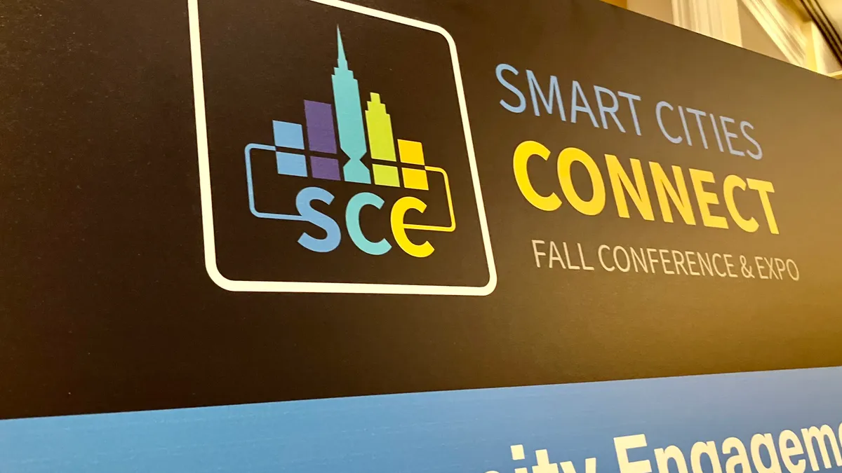 Maria Rachal/Smart Cities Dive
Smart Cities Connect
Maria Rachal/Smart Cities Dive
Smart Cities Connect3 takeaways from the Smart Cities Connect fall conference
Public- and private-sector professionals shared ideas on how to get support for procurement, make progress on open-source and interoperable technologies and more.
By Maria Rachal • Sept. 30, 2022 -
 Getty Images
Smart Cities Connect
Getty Images
Smart Cities ConnectHow to move pilot projects to permanent programs
Officials from Frisco and San Antonio, Texas, and the New York Public Library system, shared at the Smart Cities Connect conference their challenges when transitioning trials to full programs and their strategies to overcome them.
By Danielle McLean • Sept. 30, 2022 -
 Getty Images
Report: 9 in 10 companies will require return to office by 2023
Notably, nearly three-quarters of companies surveyed said they still intend to hire remote workers in the future.
By Kathryn Moody • Sept. 30, 2022 -
Getty Images
Column
Satellite IoT brings calm before and after the storm
Editor's note: This article was originally published in American City & County, which has merged with Smart Cities Dive to bring you expanded coverage of city innovation and local government. For the latest in smart city news, explore Smart Cities Dive or sign up for our newsletter.According ...
By Claudia Smith • Sept. 27, 2022 -
 Getty Images
Don’t let flying taxis be the next scooters, city planners warn
Private companies could begin operating air taxi services by 2024, experts said during the ITS World Congress in Los Angeles. Cities need to plan their regulatory approach now.
By Michael Brady • Sept. 27, 2022 -
 Getty Images
Sponsored by GM Future Roads
Getty Images
Sponsored by GM Future RoadsConnected vehicle insights help Washington D.C. better understand school zone traffic safety
The district uses crash, volume, speed and demographic information from Safety View by GM Future Roads and INRIX to help reduce injuries among children.
Sept. 26, 2022 -
 Drew Angerer/Getty Images via Getty Images
NYC to give free high-speed internet to public housing residents
The Big Apple Connect program will provide free internet and cable services to more than 300,000 people who live in New York City Housing Authority developments by the end of 2023.
By Danielle McLean • Sept. 23, 2022 -
Getty Images
Column
Amazon Web Services launches smart cities hub to connect communities with experts
Editor's note: This article was originally published in American City & County, which has merged with Smart Cities Dive to bring you expanded coverage of city innovation and local government. For the latest in smart city news, explore Smart Cities Dive or sign up for our newsletter.Communitie...
By Andy Castillo • Sept. 22, 2022 -
 Getty Images
To break an impasse in connected vehicle tech, transportation leaders call for a federal policy framework
A national framework could address the chicken-and-egg problem of who should invest in the technology first, carmakers or communities, transportation experts say. Without such guidance, each is hesitant to move forward.
By Michael Brady • Sept. 19, 2022 -
 Getty Images
Deep Dive
Getty Images
Deep DiveHow Black-owned grocers are filling industry gaps
From a cashierless store in Atlanta to health-focused pop-up markets in Los Angeles and Chicago, grocery concepts from Black entrepreneurs are making the changes they want to see in food landscapes.
By Catherine Douglas Moran • Sept. 15, 2022 -
Getty Images
Column
A social media success framework for local governments
A social media success framework for local governments
By Cyrus Mavalwala • Sept. 14, 2022 -
Smart cities incubator and accelerator program takes shape in Colorado
Colorado Smart Cities Alliance Executive Director Tyler Svitak talked through plans to bolster technology workforces and companies with the help of federal grant money.
By Charles Pekow • Sept. 12, 2022 -
 Getty Images
Advanced mobility, mass timber projects chosen in $1B federal regional challenge
The American Rescue Plan’s $1 billion Build Back Better Regional Challenge will support joint efforts to use mass timber to accelerate affordable housing, spur American manufacturing for advanced mobility, and much more.
By Maria Rachal • Sept. 9, 2022 -
 Getty Images
Populus eyeing more cities worldwide after $11M funding round
CEO Regina Clewlow discussed the mobility management company’s plans to expand its staff and scale its platform to additional cities in the U.S. and Europe.
By Carol Brzozowski • Sept. 7, 2022 -
Getty Images
White House announces winners of the Build Back Better Regional Challenge
Editor's note: This article was originally published in American City & County, which has merged with Smart Cities Dive to bring you expanded coverage of city innovation and local government. For the latest in smart city news, explore Smart Cities Dive or sign up for our newsletter.The White ...
By Michelle Havich • Sept. 2, 2022 -
 Getty Images
Automatic braking systems have trouble seeing pedestrians at night: IIHS test
Automatic emergency braking systems, a standard feature on most new cars, did well in identifying pedestrians during the day but performed poorly at night in tests conducted by the Insurance Institute for Highway Safety.
By Dan Zukowski • Aug. 31, 2022 -
Getty Images
Column
Remote and hybrid work is here to stay—what does that mean for local governments?
Remote and hybrid work is here to stay—what does that mean for local governments?
By Andy Castillo • Aug. 30, 2022 -
Getty Images
Yes, local governments need to consider several issues when buying technology
Editor's note: This article was originally published in American City & County, which has merged with Smart Cities Dive to bring you expanded coverage of city innovation and local government. For the latest in smart city news, explore Smart Cities Dive or sign up for our newsletter.When they ...
By Michael Keating • Aug. 30, 2022 -
Getty Images
Column
California creates legislative roadmap to zero-emission vehicles by 2035
Editor's note: This article was originally published in American City & County, which has merged with Smart Cities Dive to bring you expanded coverage of city innovation and local government. For the latest in smart city news, explore Smart Cities Dive or sign up for our newsletter.As highlig...
By Andy Castillo • Aug. 29, 2022 -
Getty Images
Column
As governments address digital vulnerabilities, they’re shifting from a reactive to proactive mindset
Editor's note: This article was originally published in American City & County, which has merged with Smart Cities Dive to bring you expanded coverage of city innovation and local government. For the latest in smart city news, explore Smart Cities Dive or sign up for our newsletter.There’s be...
By Andy Castillo • Aug. 25, 2022 -
Getty Images
Column
Tech companies partner with Texas city to bring connectivity to five underserved communities
Editor's note: This article was originally published in American City & County, which has merged with Smart Cities Dive to bring you expanded coverage of city innovation and local government. For the latest in smart city news, explore Smart Cities Dive or sign up for our newsletter.A few year...
By Andy Castillo • Aug. 19, 2022 -
Getty Images
Column
Funding fiber broadband: The path to growing communities
Editor's note: This article was originally published in American City & County, which has merged with Smart Cities Dive to bring you expanded coverage of city innovation and local government. For the latest in smart city news, explore Smart Cities Dive or sign up for our newsletter.The Infras...
By Gary Bolton • Aug. 18, 2022 -
Getty Images
Column
CRM beyond sales: How government CRM can improve citizen engagement and satisfaction
Editor's note: This article was originally published in American City & County, which has merged with Smart Cities Dive to bring you expanded coverage of city innovation and local government. For the latest in smart city news, explore Smart Cities Dive or sign up for our newsletter.Private co...
By Prashant Mehta • Aug. 17, 2022