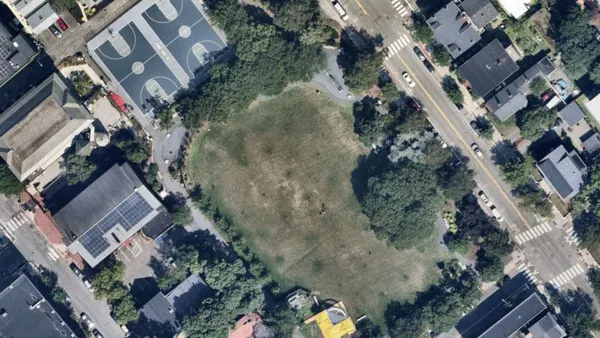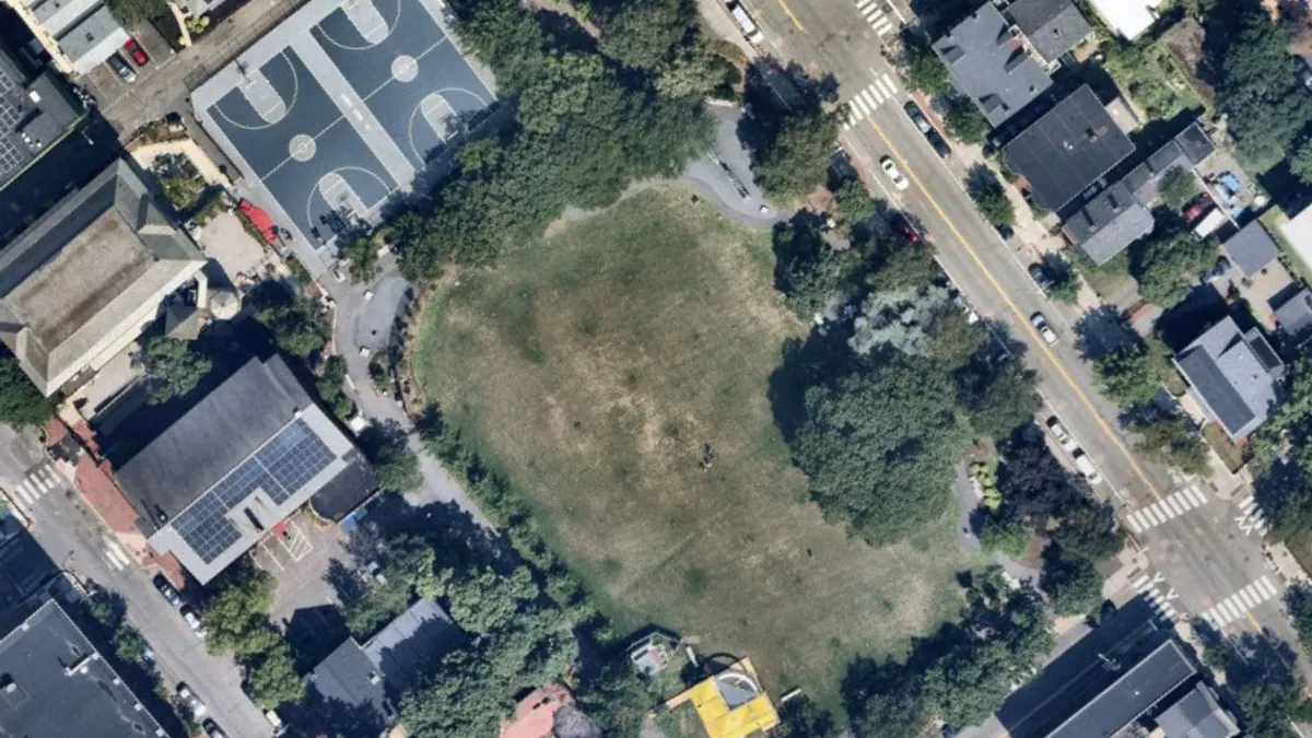
When Cambridge, Massachusetts, set out to assess the city’s tree canopy distribution for its Urban Forest Master Plan, officials expected “the burden to grow canopy” to fall on the city, Andrew Putnam, Cambridge’s superintendent of urban forestry and landscapes, told Smart Cities Dive. But an aerial inspection using lidar technology showed the biggest losses were occurring on residential lots rather than city-owned parks and rights-of-way, he said.
“I’m not sure anyone anticipated that would be the result,” Putnam said. “So we pivoted.” The city instituted an ordinance requiring residents to get a permit for significant tree removal and either plant a replacement tree or pay into the city’s tree replacement fund to mitigate the impact of that removal.
“Lidar is a fantastic tool to look at the canopy as one ecosystem and remove ourselves from anecdotal evidence so we can map the overall trends,” Putnam said. Having the lidar data made it easier for city officials to get city council buy-in for the residential tree ordinance, he added.
Lidar, a remote sensing technology that uses laser beams to measure distances and movement, has been used for high-resolution mapping since the 1990s. Recent improvements in lidar refinement and harmonization have increased its accuracy, according to the Cambridge Department of Public Works.
To create a baseline map of Cambridge’s tree canopy, analysts at the University of Vermont Spatial Analysis Lab used lidar data captured from airplane flyovers, Putnam said. The city then used that data to map trends and focus tree-planting efforts in at-risk neighborhoods.
Last year, Cambridge again used lidar data to determine that the city’s tree canopy increased by 5% from 2018 to 2024. Trees now shade 30% of Cambridge, the city said, and “continued targeted plantings and protection of mature trees will help keep this positive trend going.”
Cambridge’s lidar use is an example of cities using technology to “catalyze change and have it help lead to purposeful planning,” said Rochelle Haynes, senior vice president and managing director of Bloomberg Philanthropies’ What Works Cities certification program, which helps local governments use data to tackle challenges. “It starts sometimes with these pilots and these projects, and then they grow to become climate resiliency plans or an urban forestry plan,” she said.
Cambridge is platinum-certified, the highest level of certification What Works Cities offers, Haynes said, “and they are really excellent at using lidar and AI combined to be able to address canopy and shading issues.”
Putnam said other municipalities have reached out to ask about creating their own urban forestry master plans, and he always directs them to the University of Vermont Spatial Analysis Lab. “The price tag is actually very reasonable, and having data to confirm you’re losing canopy makes it much easier to make your case to your city council,” he said.