Dive Brief:
-
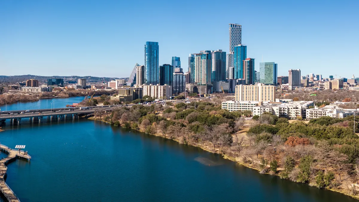
Austin, Texas, is leveraging Google Earth tree canopy data and machine learning models to prioritize tree planting in low-canopy areas with the highest heat vulnerability.
-
The city’s Climate Action and Resilience department is layering heat severity and demographics data onto Google’s Environmental Insights Explorer geospatial data to identify urban heat islands and test “cool corridors” that combine tree planting with cool pavements and bus shelters.
- Using remote sensing and satellite data to map tree canopy “is much faster, cheaper, and easier to scale than counting every tree on the ground,” Alan Halter, a senior IT geospatial analyst for Austin Climate Action and Resilience, said in an email. “This makes it a highly adaptable model for any city looking to track its environmental progress.”
Dive Insight:
Summers in Austin are getting hotter and heat waves more frequent, according to University of Texas research.
In February, Austin released its Resilient Austin Playbook, which calls for investments in cooling infrastructure and green open spaces to reduce heat risk, including “cool corridors” that deploy strategies such as trees, built shade and cool pavements using energy-reflective coatings.
Austin’s Climate Equity Plan includes a goal of achieving 50% tree cover by 2050. The city is currently at about 41%, Halter said.
“To ensure this growth is equitable, we focus on where those trees go, not just how many we plant,” he said. “Three out of every five trees distributed through programs like NeighborWoods must go to high-priority, low-canopy neighborhoods. This ensures that our resources are helping the communities that need shade and cooling the most.”
A block-by-block analysis published in the journal Building and Environment in February found that elderly populations in Austin face “significantly higher extreme heat risk during extreme events.”
Austin’s climate team is working to align “cool corridors” planning with transportation efforts like Project Connect, which is expanding the city’s transit options through a new light rail system and improved rail and bus service, Marc Coudert, climate resilience and adaptation manager for Austin Climate Action and Resilience, said in an email.
While planting trees directly in transportation right-of-ways can be challenging because of space constraints, underground utilities and safety requirements, “there are strong opportunities to expand canopy and advance cooling by planting adjacent to roadways in areas like parks, schools, and large private landowners,” Coudert said.