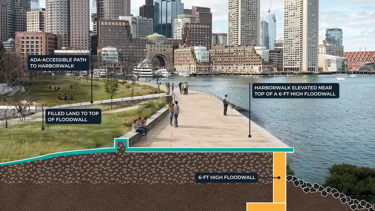
The federal government could shoulder 65% of the cost of Boston’s plan for nearly $10 billion of coastal resilience infrastructure protecting Boston from coastal flooding and sea level rise following a U.S. Army Corps of Engineers risk management feasibility study released last week.
The first draft of the study outlines more than 20 infrastructure projects along 16 miles of Boston’s coastline that would protect inland areas from flooding during extreme weather events. The Army Corps estimates the infrastructure will prevent an estimated $41 billion in damages.
Boston started the process of sponsoring the study, which is required for the city to be eligible for federal funding, in 2022, Chief Climate Officer Brian Swett told Smart Cities Dive. The study, he said, "is the big kahuna.” The final report is expected in 2028.
The city began to take coastal resilience seriously after it just missed being hit by Hurricane Sandy in 2012, Swett said. One-sixth of Boston sits on filled tidelands built under the assumption that sea levels would remain static, Swett said. Sandy’s near-miss — on top of a history of 24 federal or state disaster declarations, 14 of them involving major flooding, since 1991 — spurred the city to pursue resilience. Its Climate Ready Boston initiative, published in 2016, resulted in the creation of Coastal Resilience Solutions plans, which identify flood risk locations and opportunities for prevention infrastructure. Boston is the only major U.S. city to zone new construction to a future flood standard that projects 40 inches of sea level rise by 2070, he said.
“We recognized the significance of what we were facing — billions of dollars in infrastructure costs and massive amounts of our population at risk, with 40% of Boston residents living in areas that are projected to flood in the latter half of this century,” Swett said. “We thought that justified federal interest.”
Those years of research and planning meant Boston was well-prepared to invite the Army Corps to conduct the study, he said. “We’d already had a bunch of design sessions and charrettes and created the understanding with the business community and residents that this was a challenge we needed to solve.”
The infrastructure projects in the draft report — including floodwalls, berms and floodgates — generally align with projects outlined in Climate Ready Boston neighborhood plans, said Nayeli Rodriguez, deputy director of Boston’s Office of Climate Resilience. “We’ve developed not only a vocabulary about Boston’s risk profile and why we need to address this problem, but also the specific solutions we’re building toward. That allowed us to guide the Corps throughout the process toward the things that we already knew the community wanted and that Boston was prepared to invest in.”
A two-for-one match from the federal government
In accordance with the 1986 Water Resources Development Act, the federal government assumes 65% of the cost of Army Corps-approved coastal storm risk management projects. The remaining 35% could come from city-generated funds, the state, philanthropy or the private sector, Swett said.
Boston’s Green Ribbon Commission, a public-private advisory group established to accelerate implementation of its Climate Action Plan, is studying revenue streams and financing approaches to fill the gap. “Our members represent some of the largest institutions and employers in Boston, and they are telling us clearly that reducing risk from flooding is an urgent priority to be solved before it’s too late,” Rebecca Herst, Green Ribbon Commission director of climate resilience, said in a statement announcing the effort.
For projects that close significant flood paths to protect entire neighborhoods, the city could establish resilience improvement districts that residents would pay into similar to tax increment financing, Swett said. Projects that protect tourism infrastructure could be funded by cruise ship landing fees or hotel taxes, he said.
“This is a math problem for us to solve over the next 15 years as these projects roll out,” Swett said. “Now we have that carrot that is strongly motivating — a two-for-one match from the federal government on the core costs.”
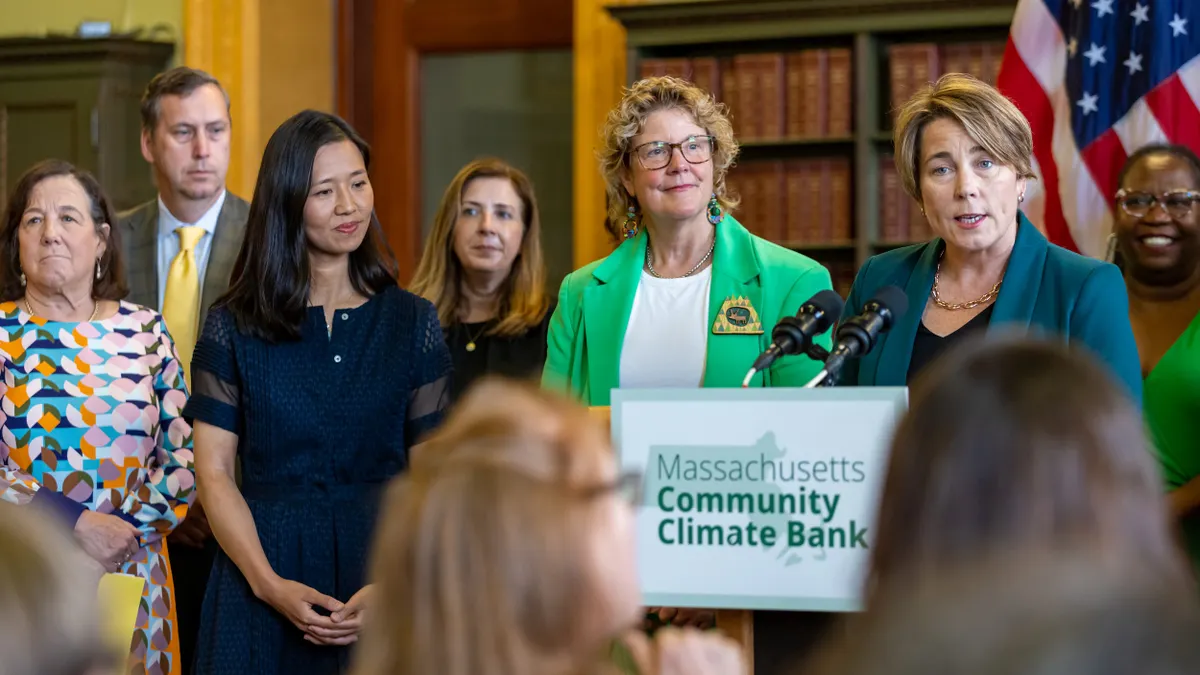
The city is “putting our own money where our mouth is,” Rodriguez said. Mayor Michelle Wu’s fiscal years 2027-2031 capital plan allocates $75 million for a Coastal Resilience Reserve project to provide the local match for state, federal or other grants and execute on interim solutions for near-term flood pathways. “Our Coastal Resilience Reserve and ongoing planning efforts with the Army Corp of Engineers place the City in a strong position to begin coastal construction projects over the next decade,” Wu states in the plan.
The conversation goes beyond resilience, Rodriguez said. “It’s also a conversation about this once-in-a-generation opportunity to invest in the waterfront, which is not only preventing damage but also an opportunity to enhance and invite economic opportunity and development in a way that we haven’t had the opportunity to do in our city.”
Stakeholders in every city are addressing climate resilience as they face rising insurance rates, bond opportunities and inquiries from companies considering relocation, Swett said.
“I hope we’re giving hope to other cities around the country that you don’t necessarily have to wait for a big storm to hit,” he said. “We took a near-miss and turned it into this massive effort, and now we’re more optimistic than we’ve ever been that we will have infrastructure in place when that big one hits.”